Hike to Blåisen (Blue Glacier)徒步前往布劳冰川
June 24, 2026
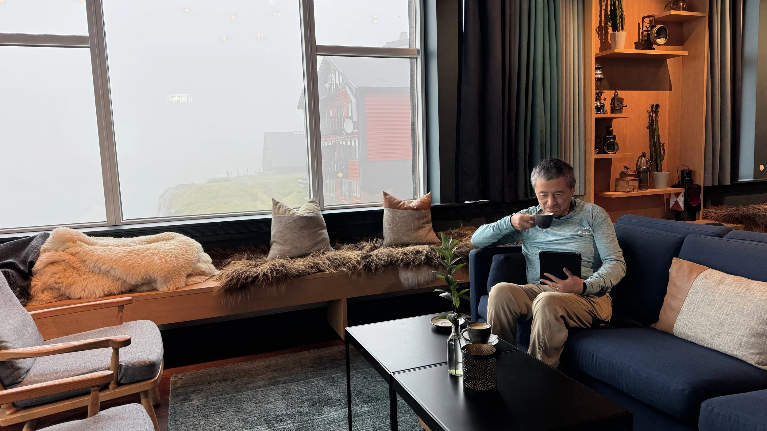
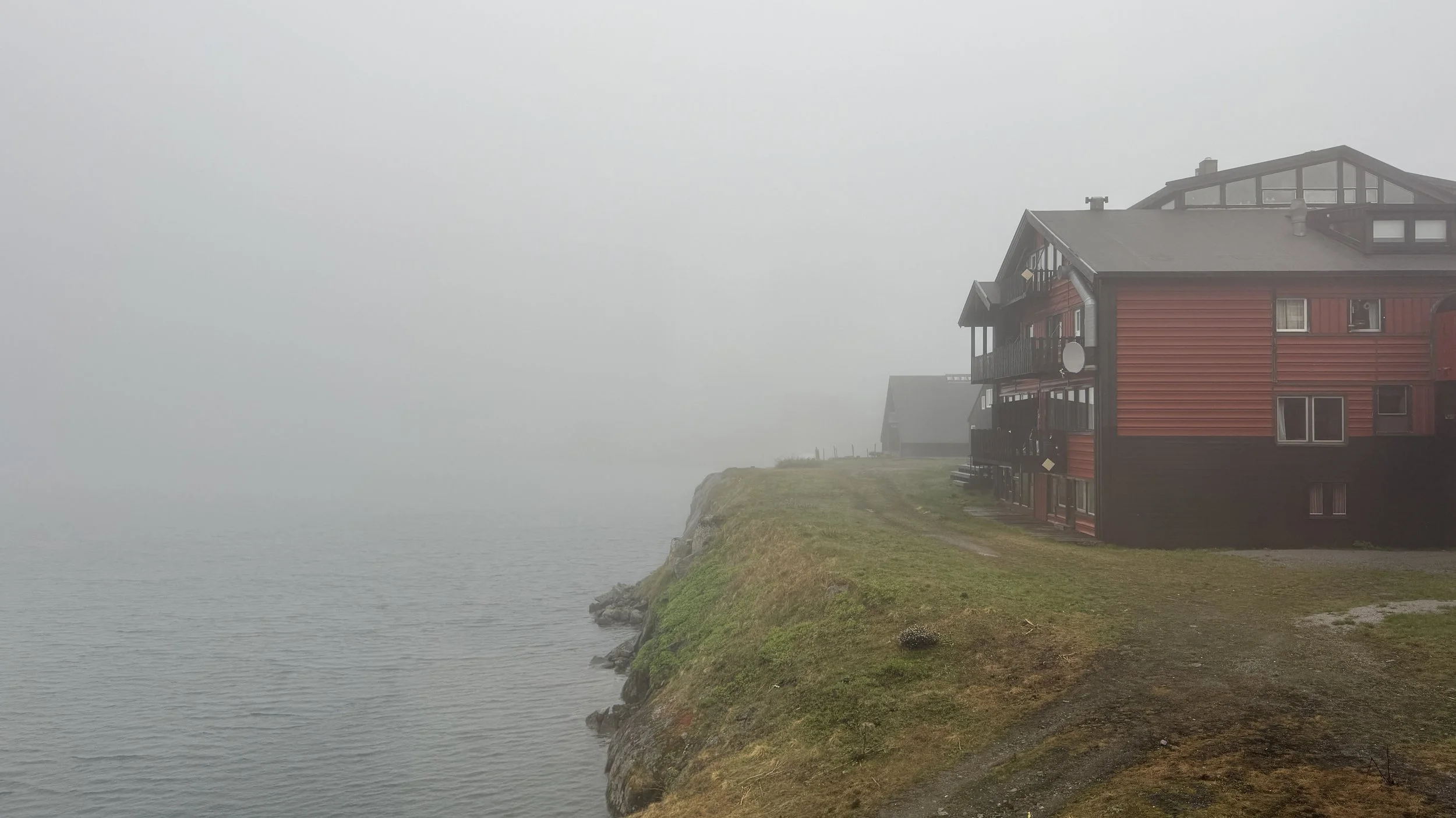
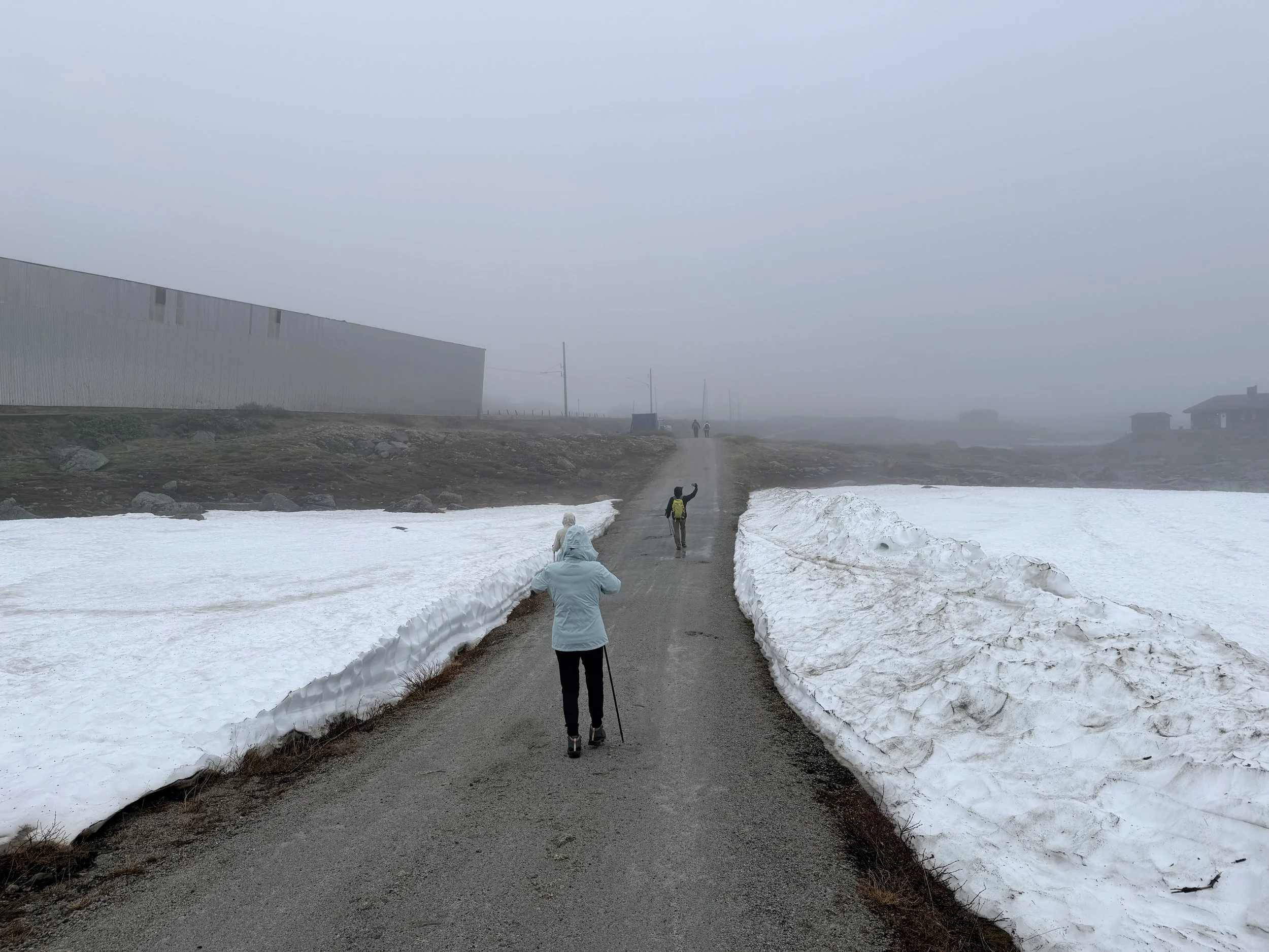
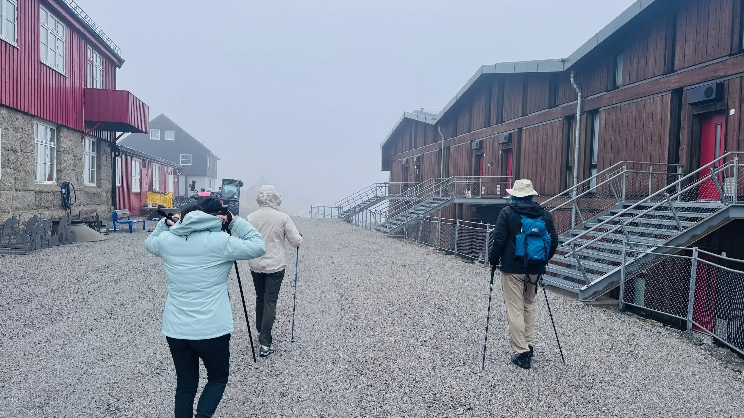
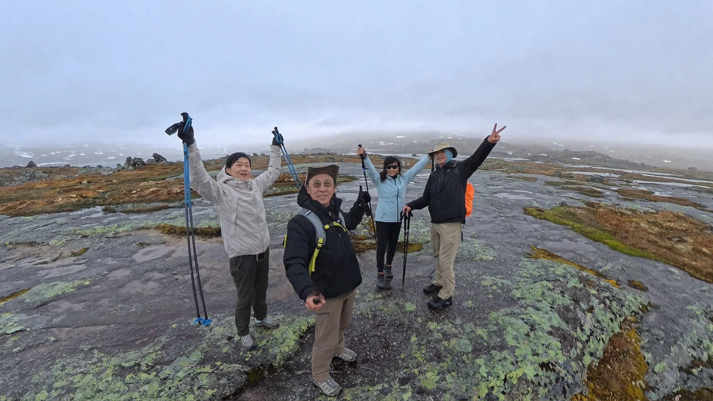
After a satisfying breakfast, we set out on a hike toward Blåisen (the Blue Glacier). The morning began under a blanket of fog, but the sky gradually opened up later in the day. Unfortunately, the weather remained mostly cloudy, with occasional drizzle and a steady wind.
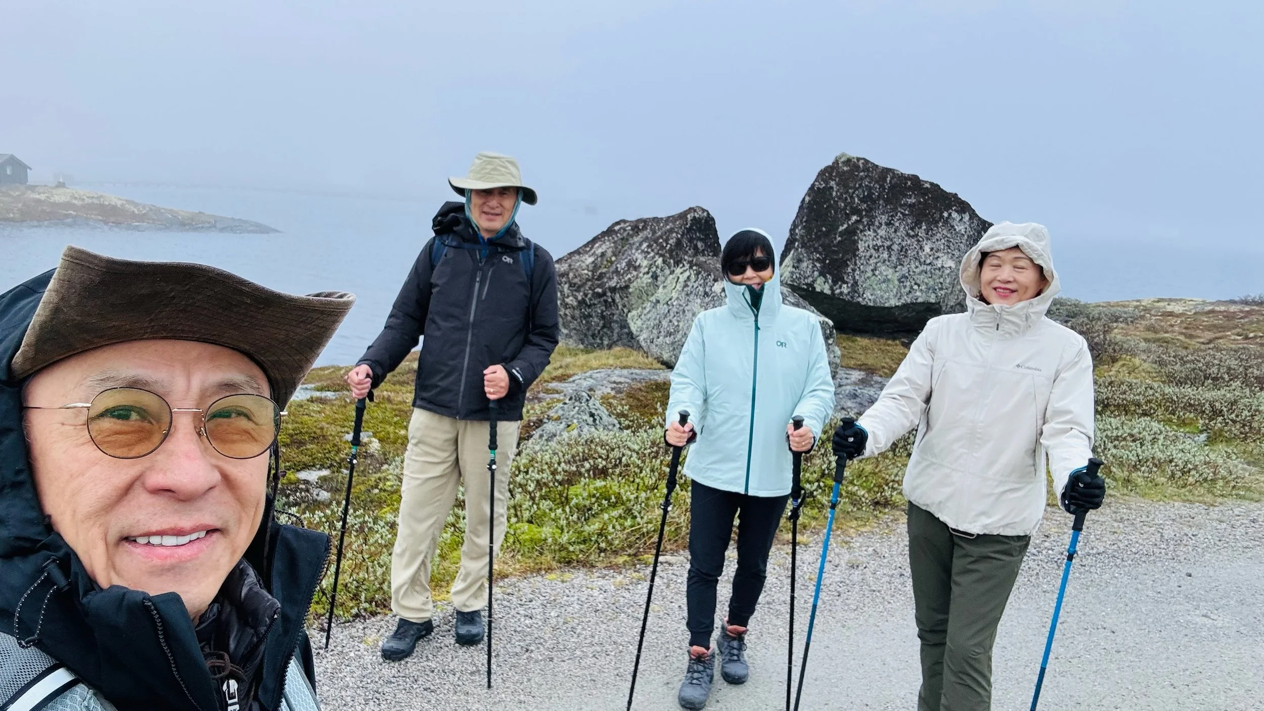
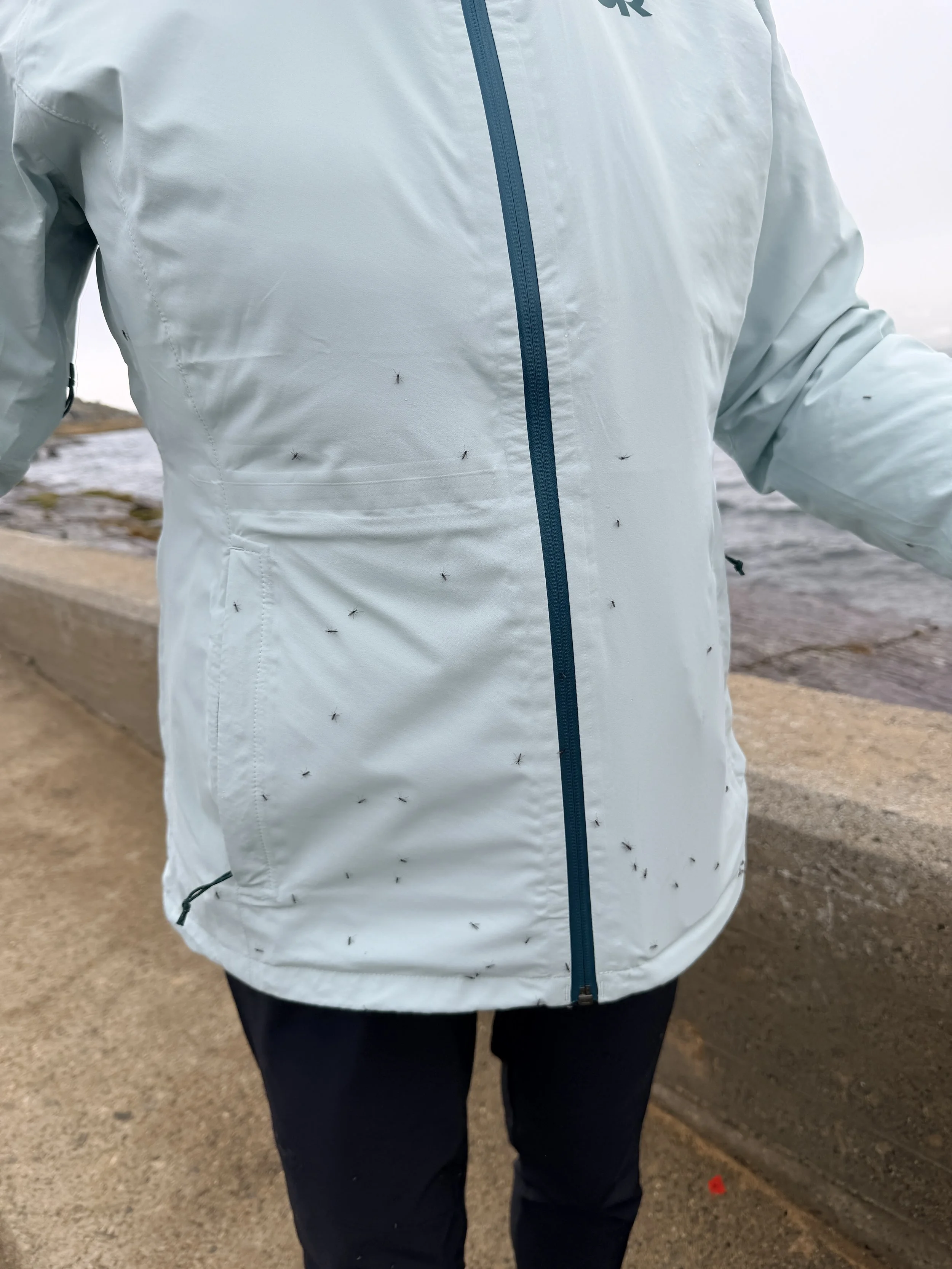
As we crossed the bridge and dam near Finse, hundreds of mosquitoes landed on our clothes. Fortunately, they seemed completely uninterested in people and soon flew away, leaving us in peace.
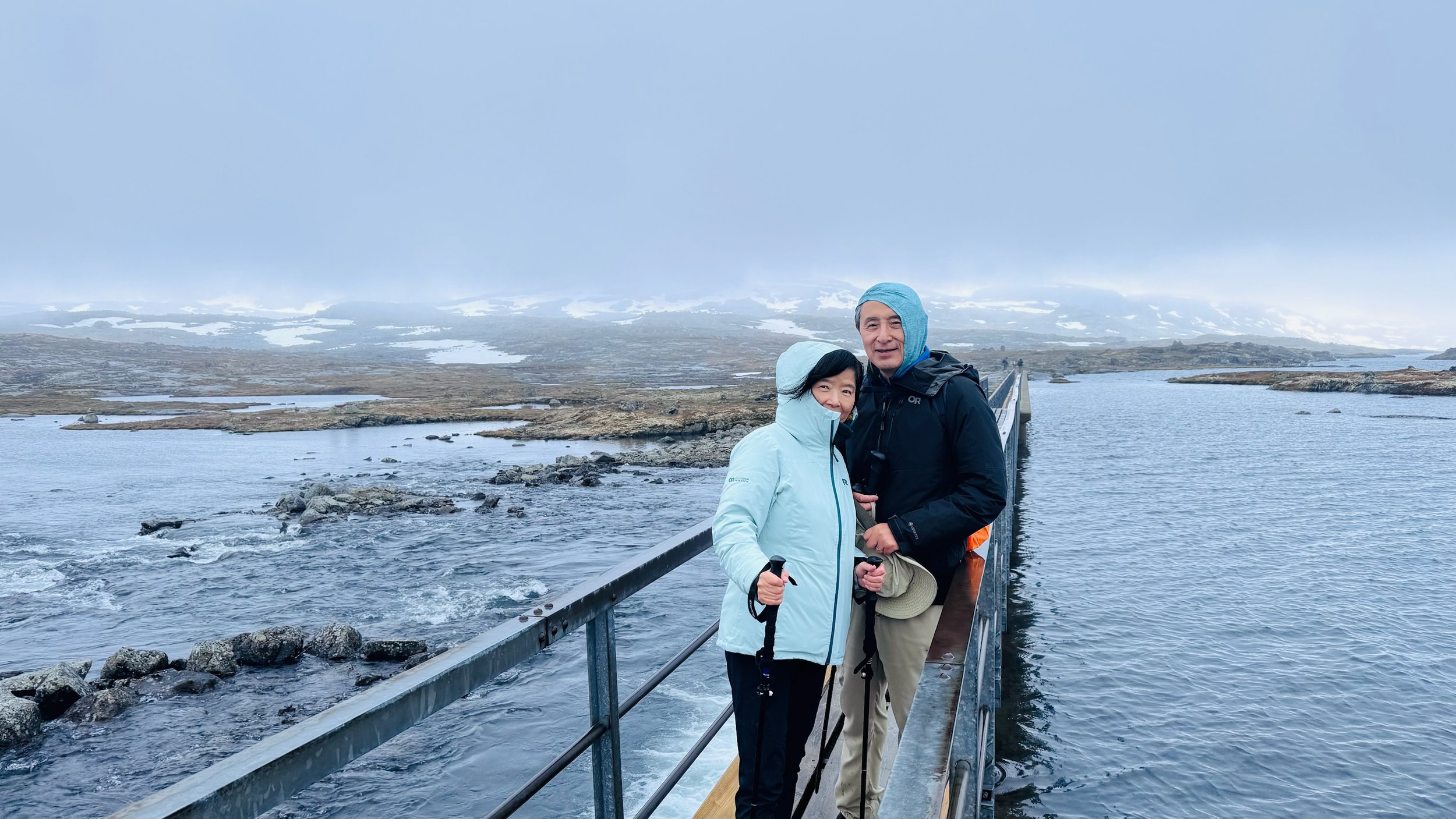
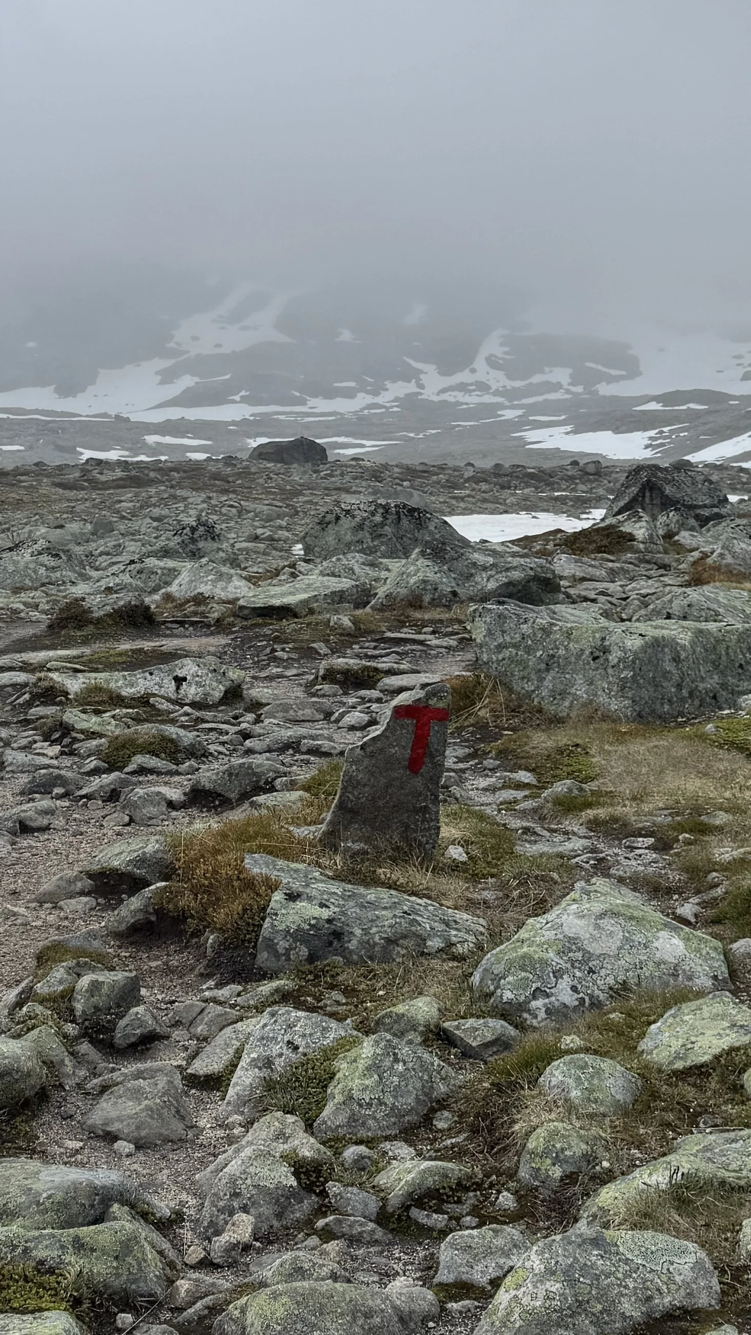
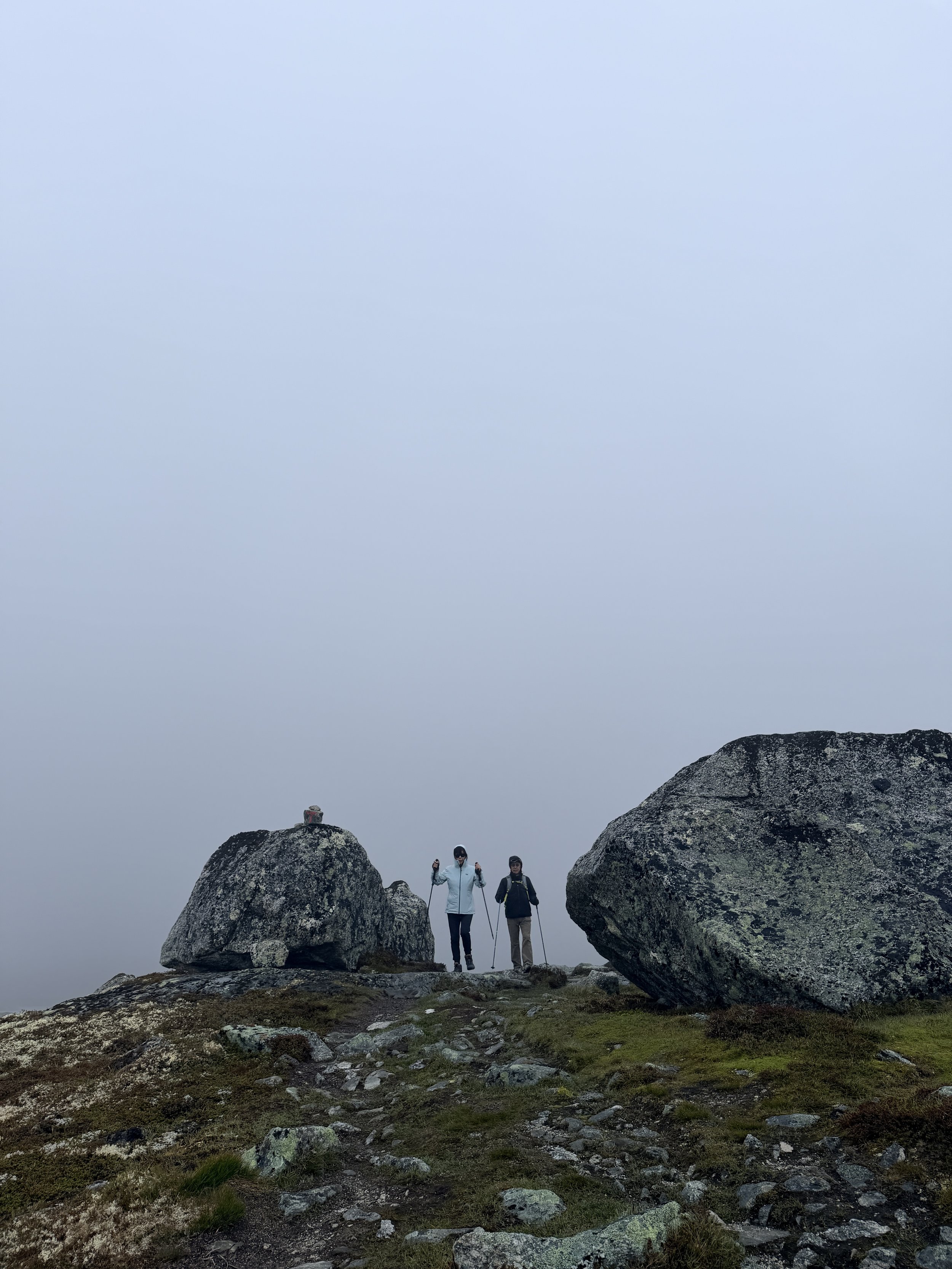
For most of the hike, it was just the four of us enjoying the serenity of the vast wilderness. Although we had the AllTrails map for navigation, the large red “T” trail markers provided welcome reassurance and helped ease any concerns about wandering off route in the wide-open landscape.
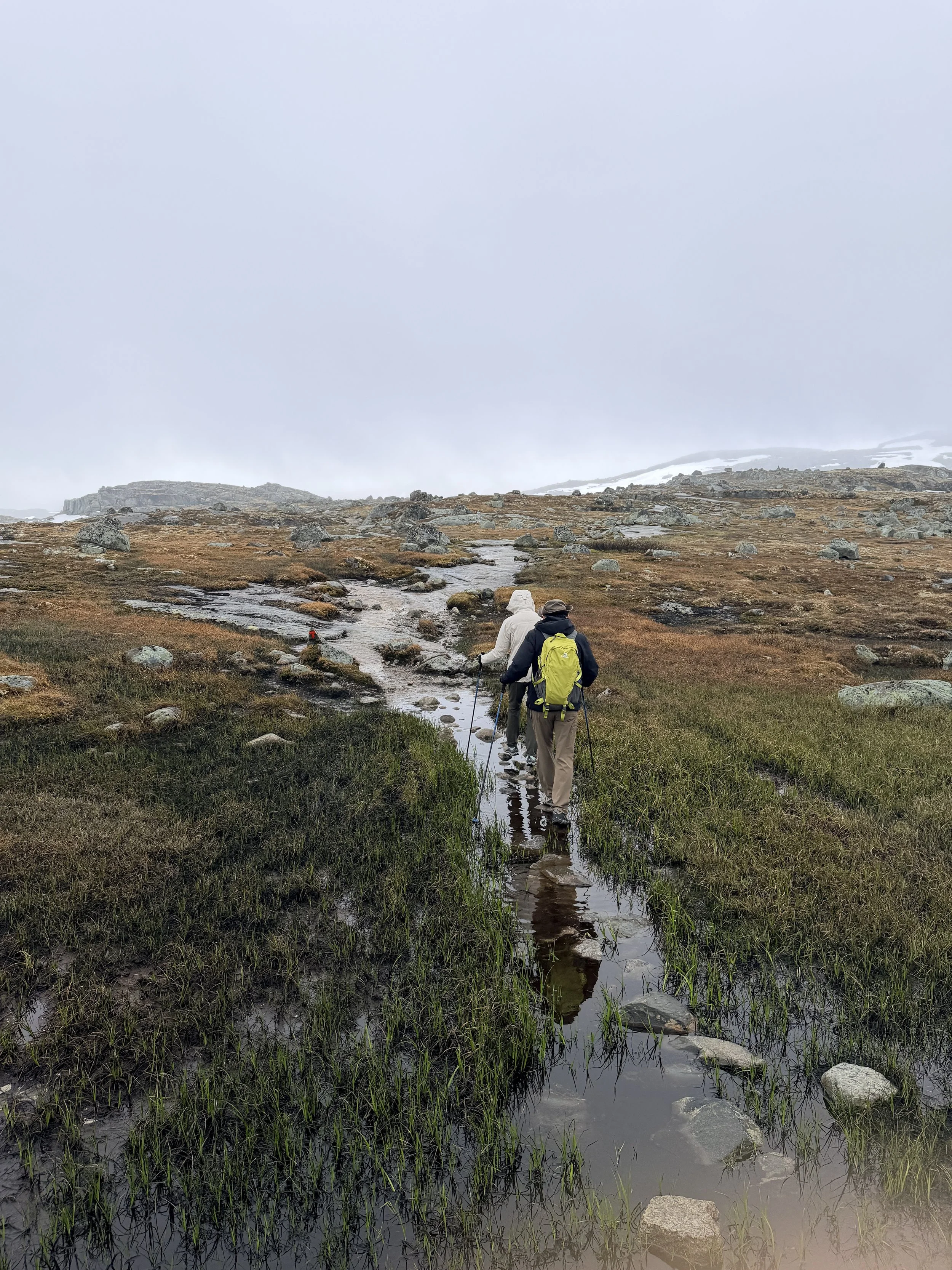
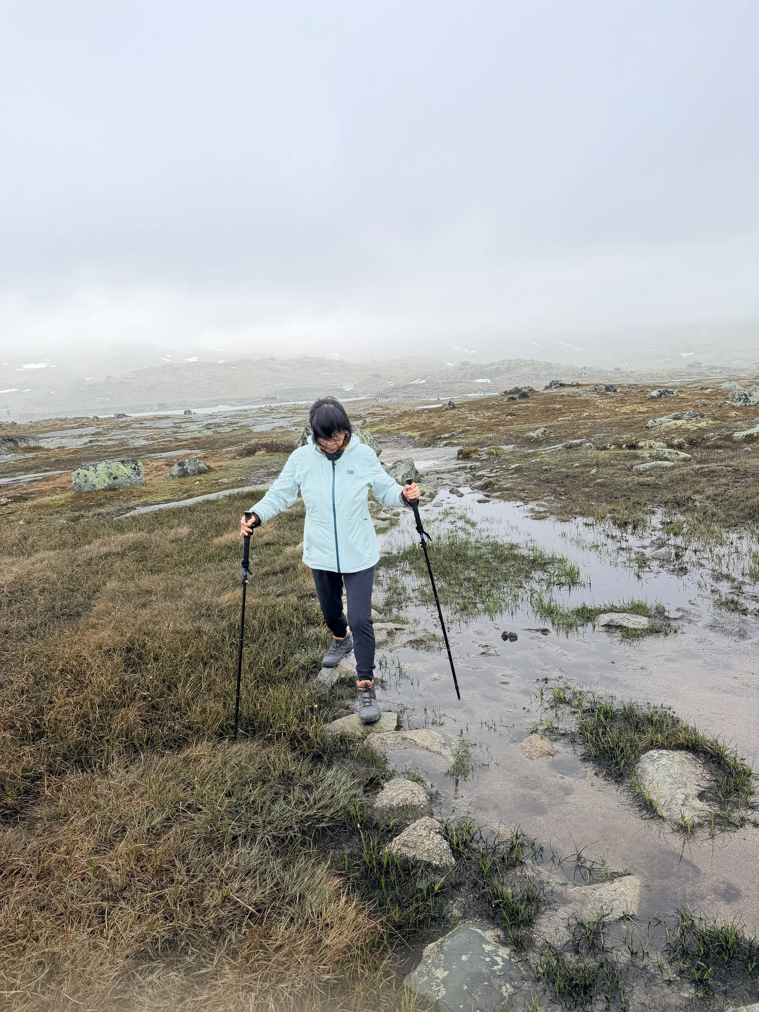
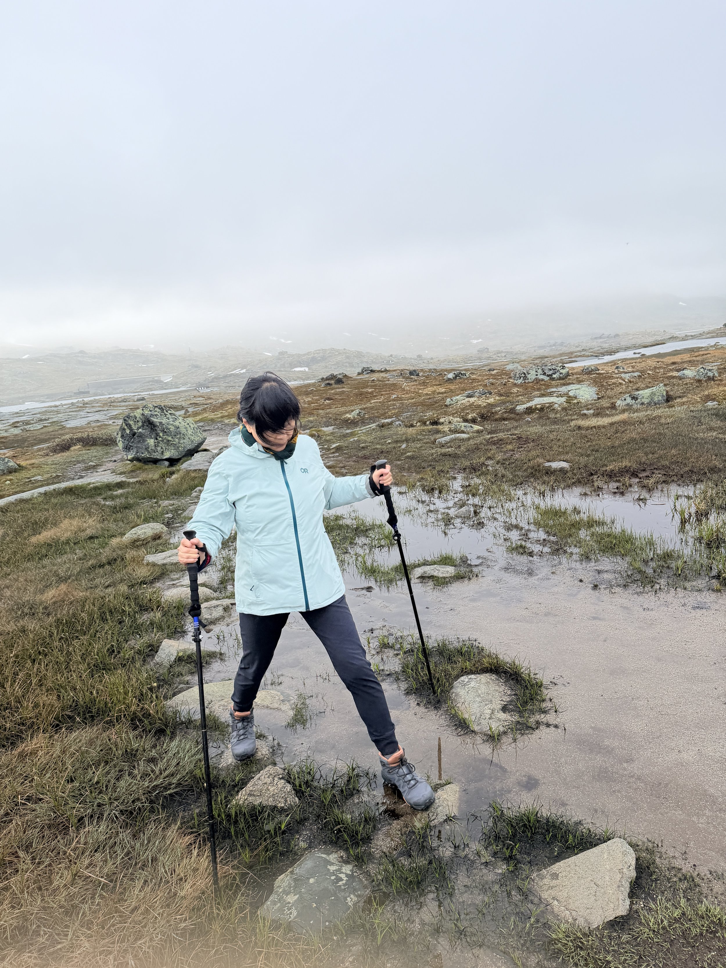
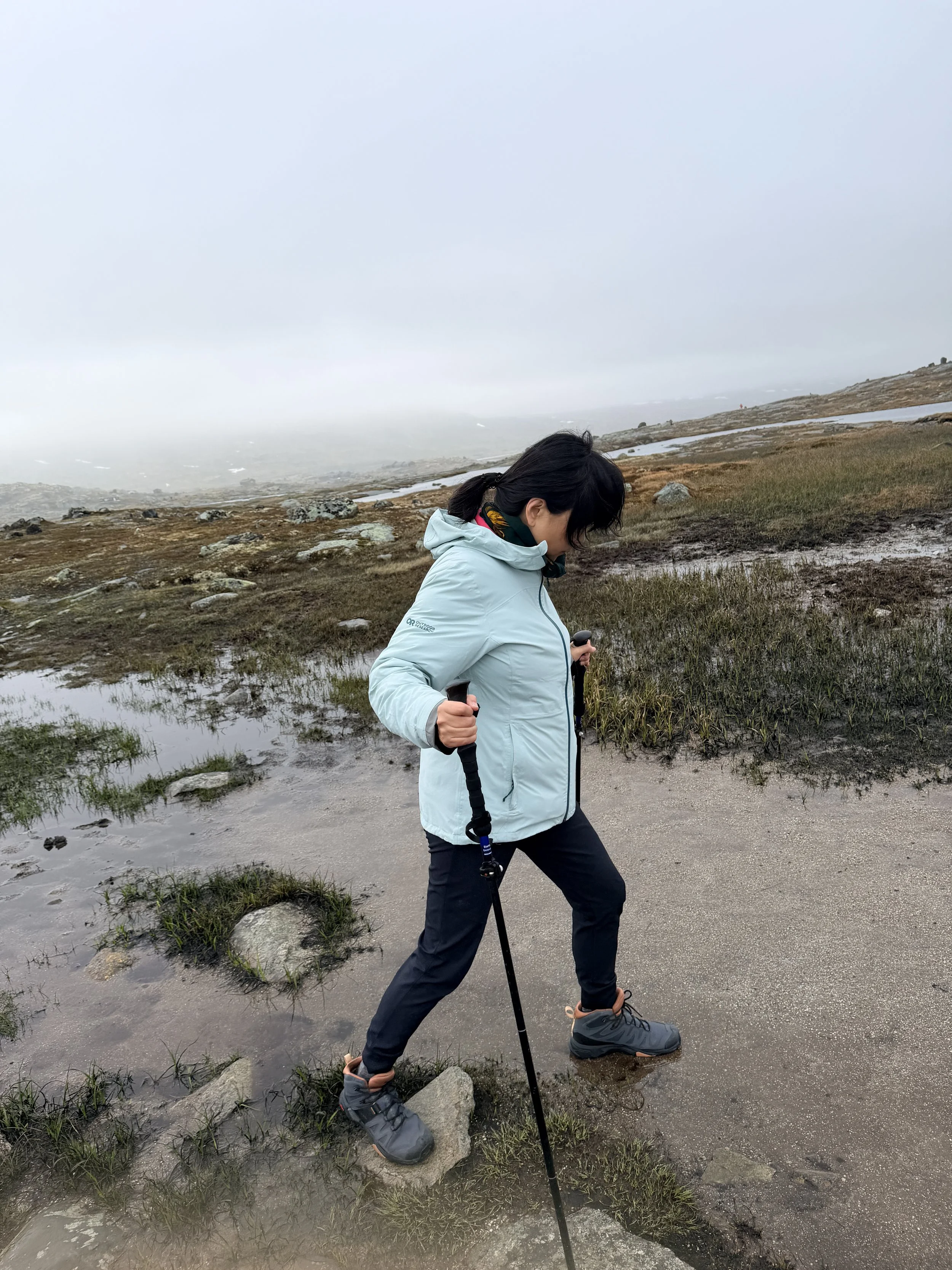
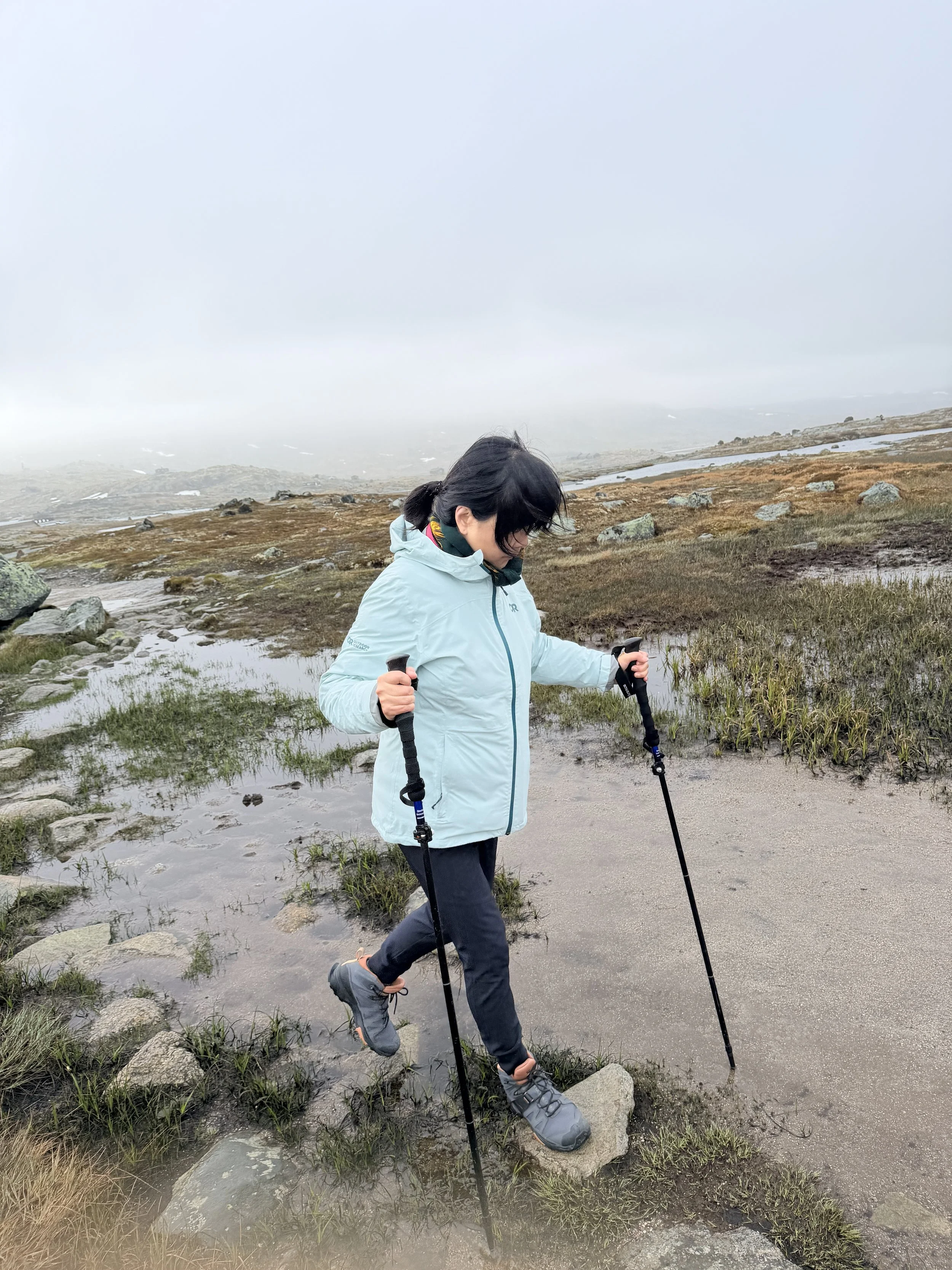
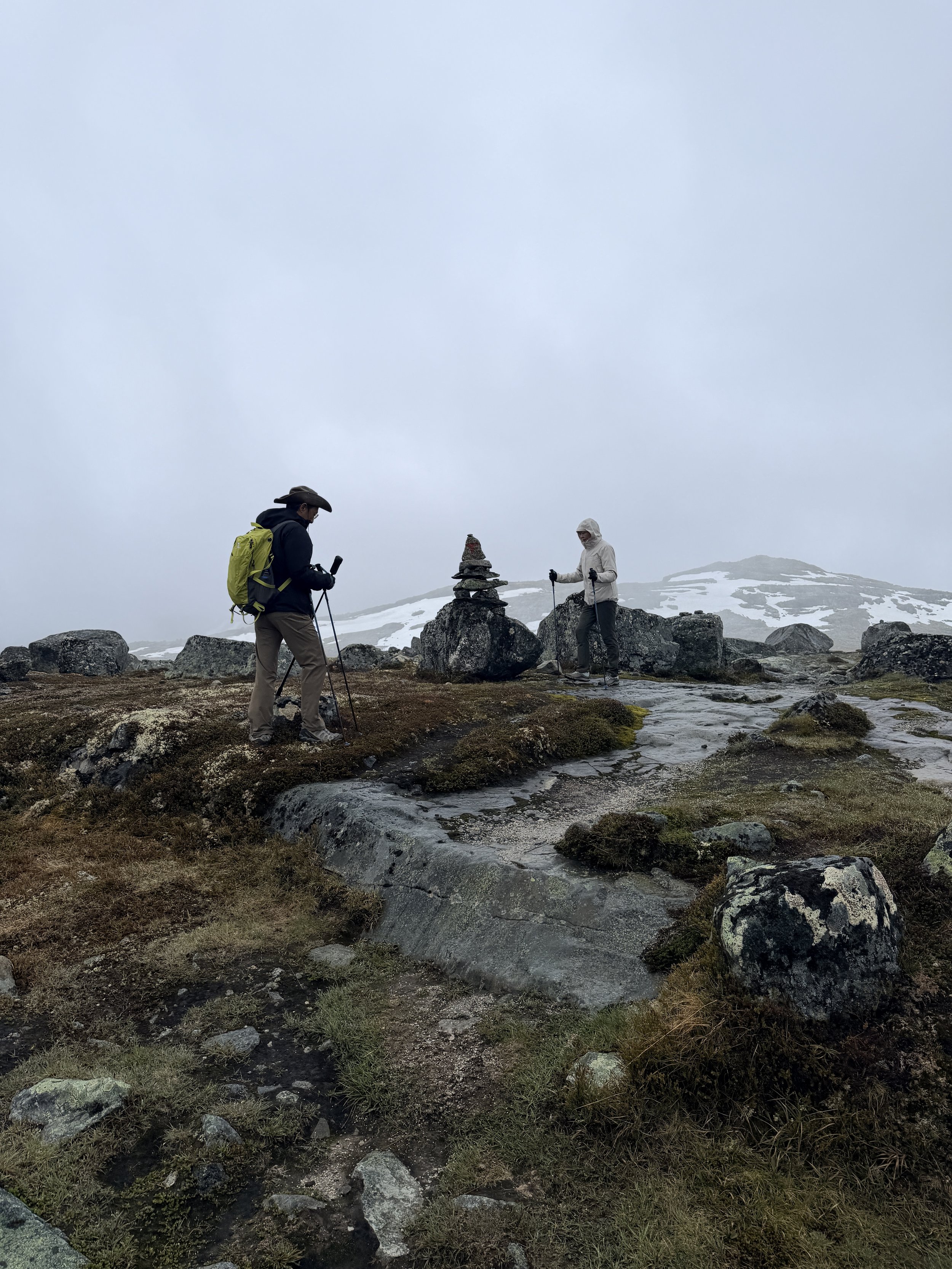
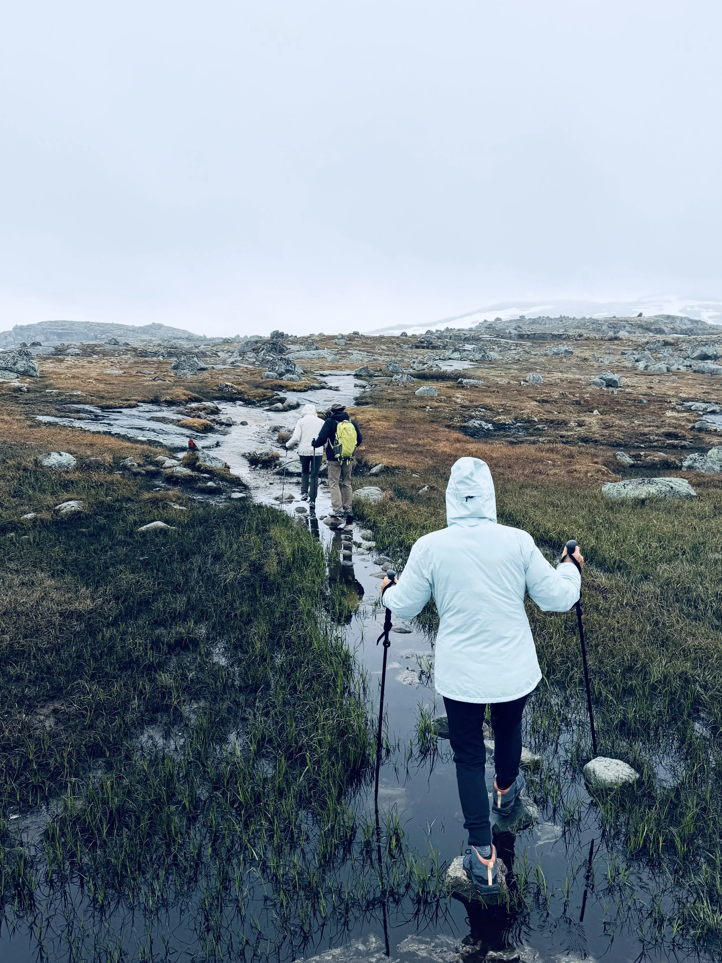
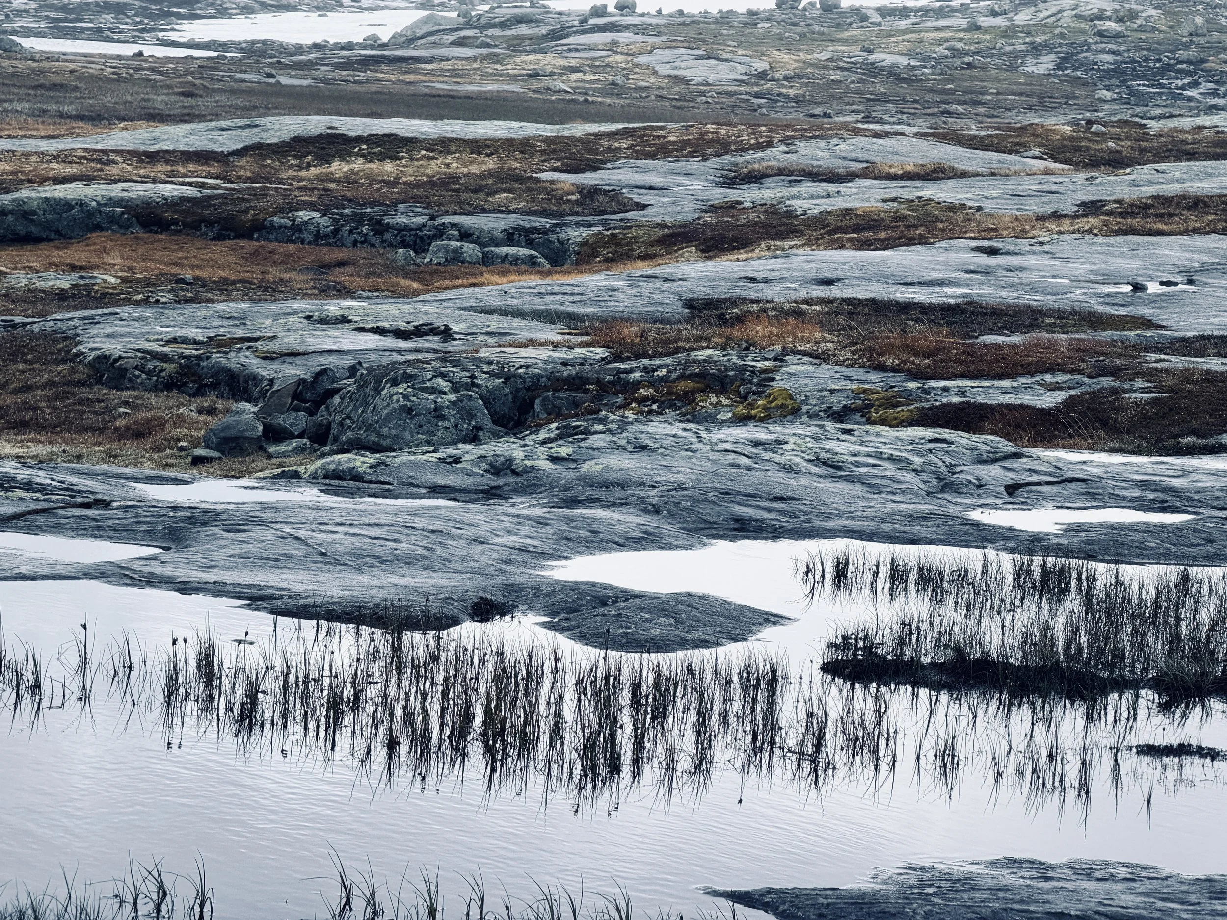
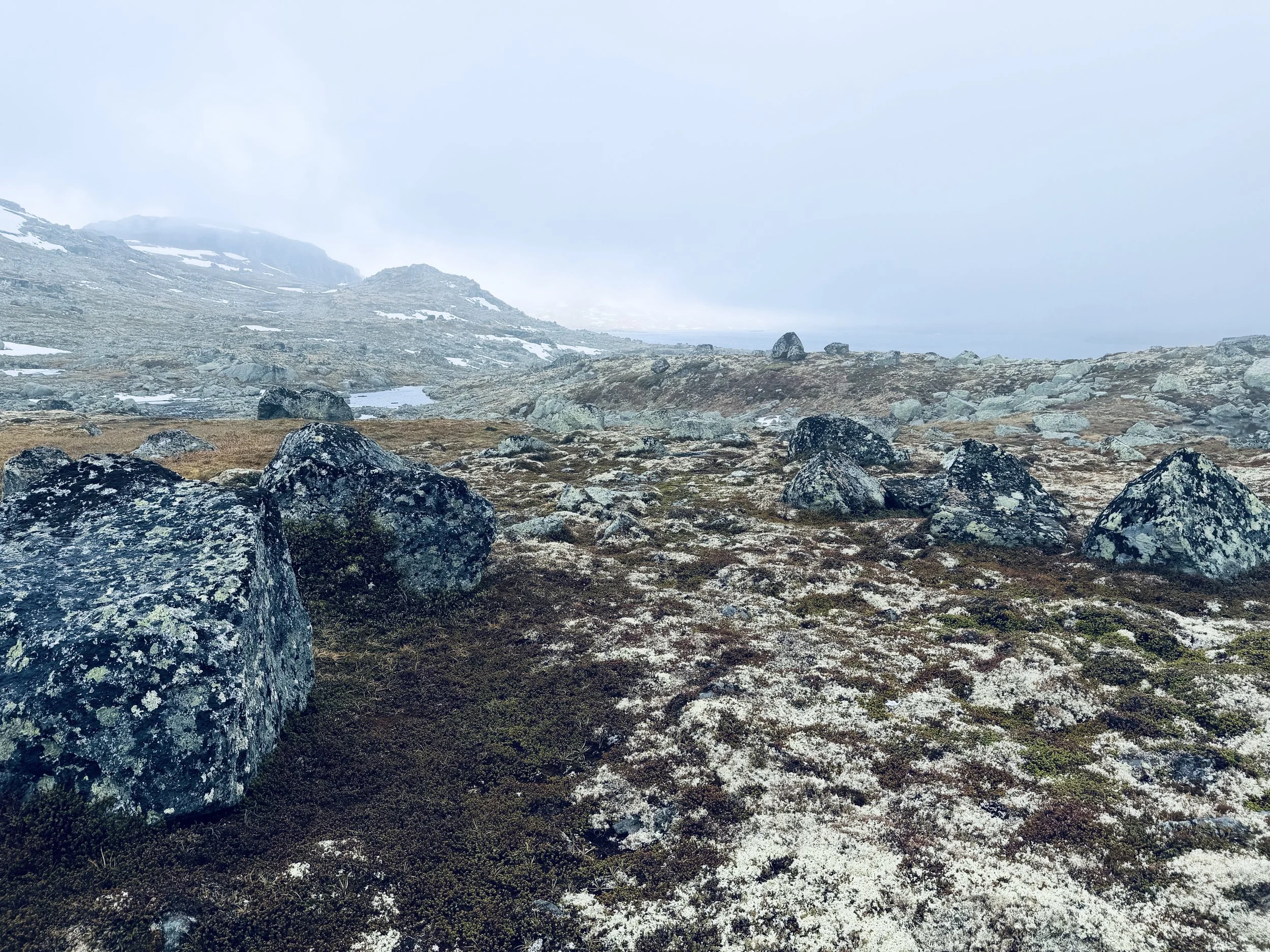
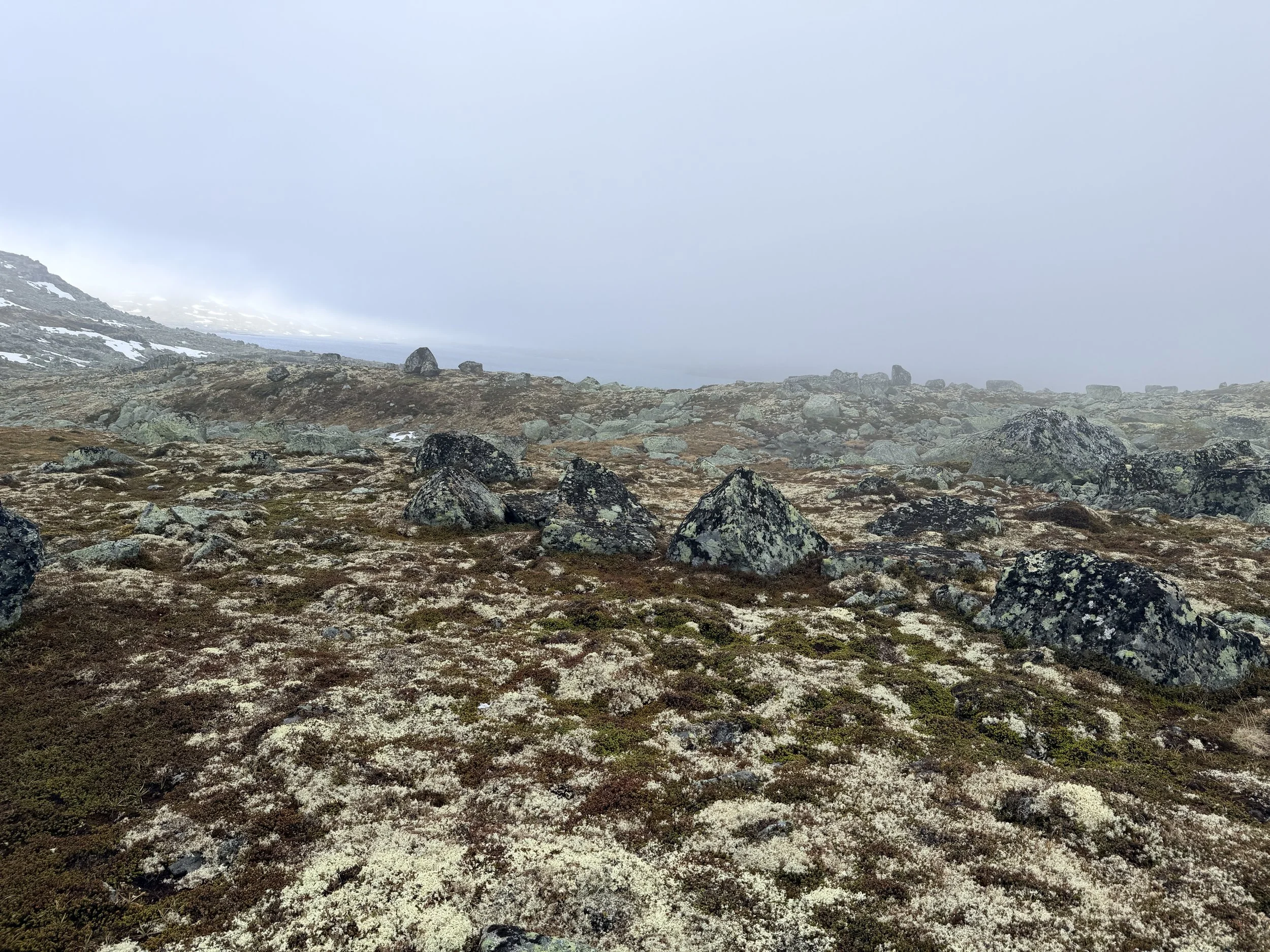
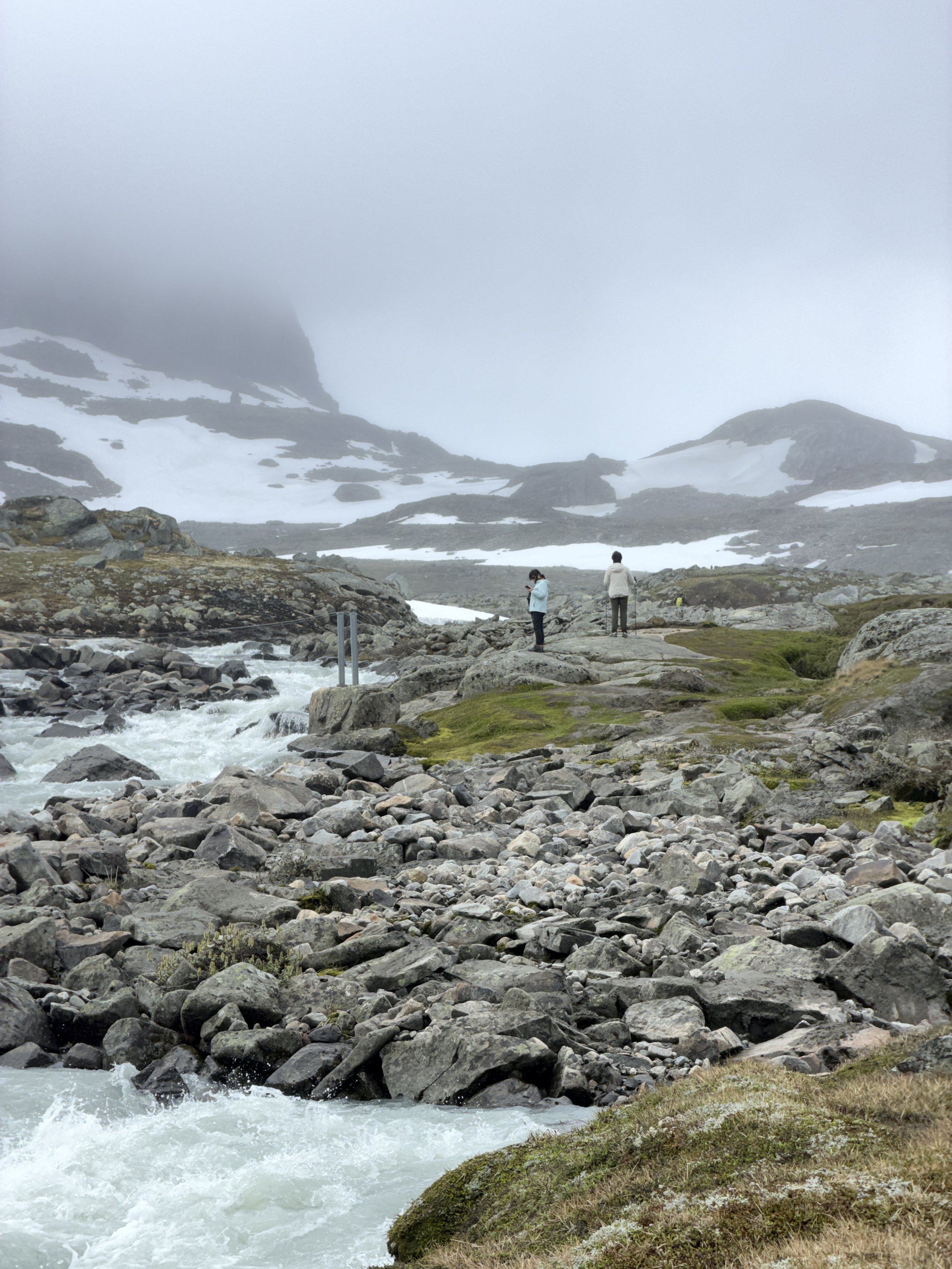
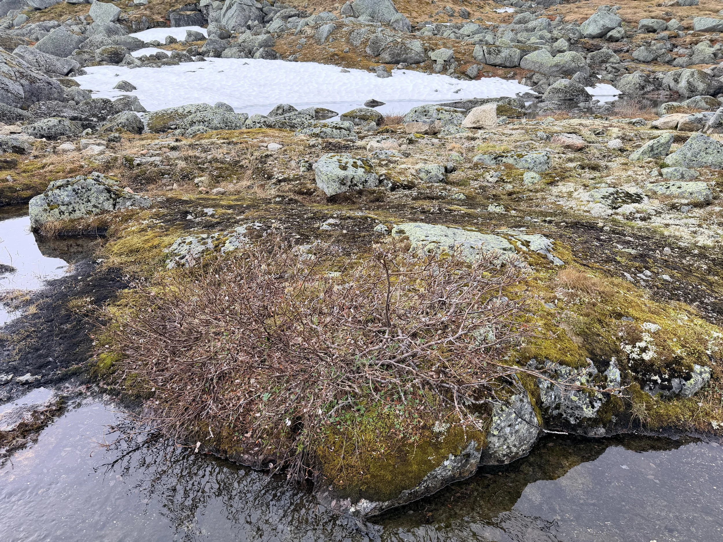
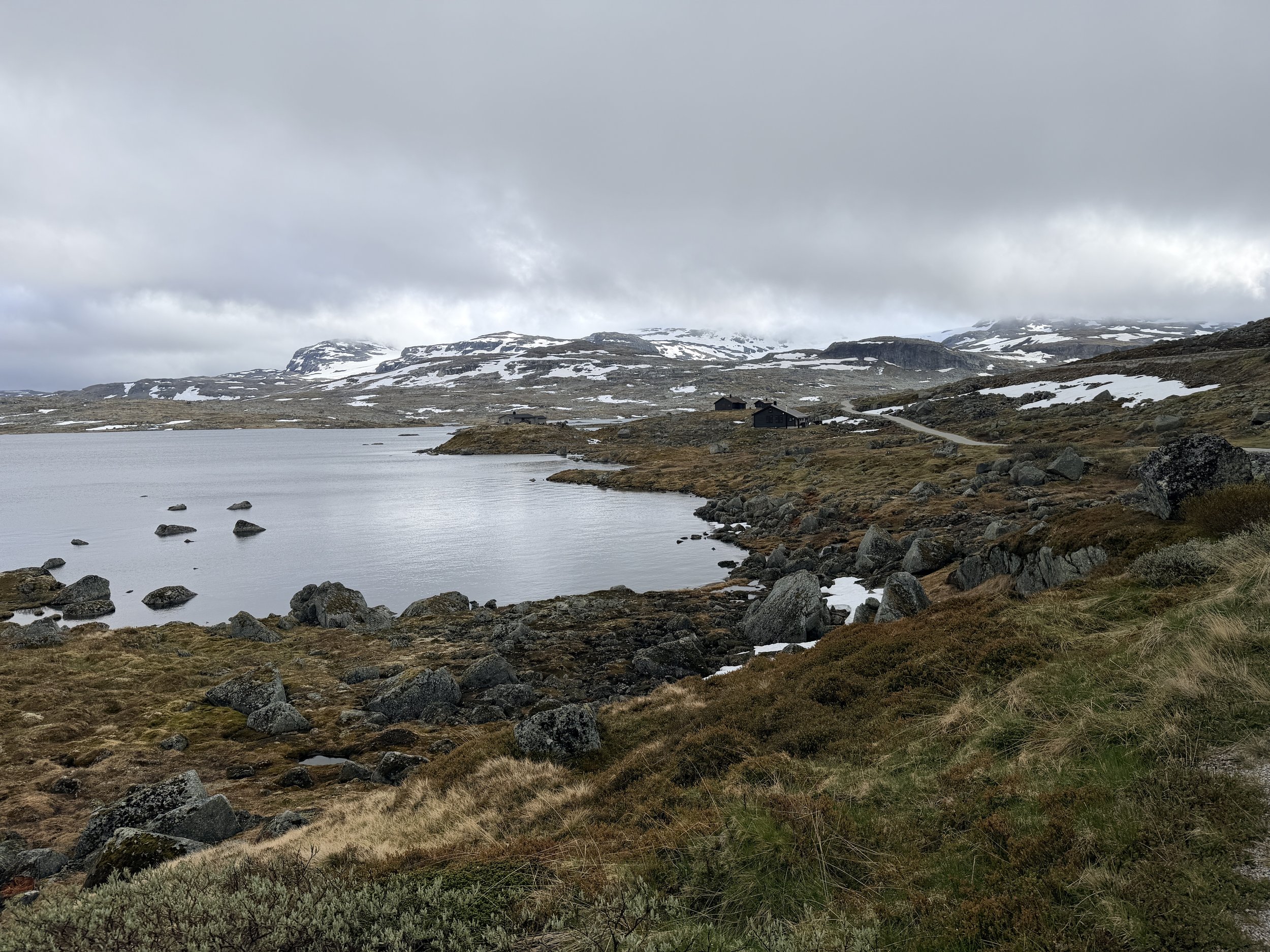
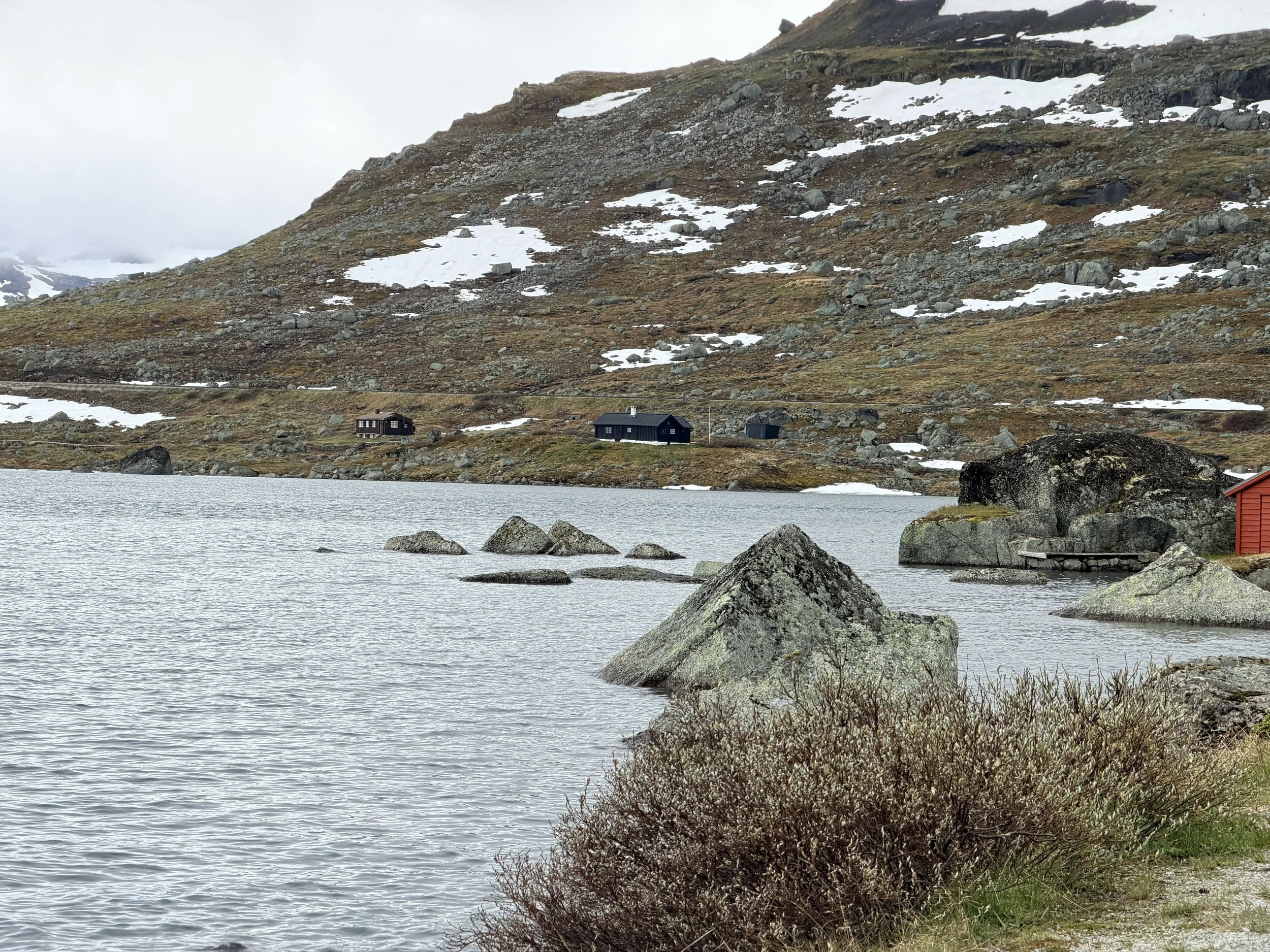
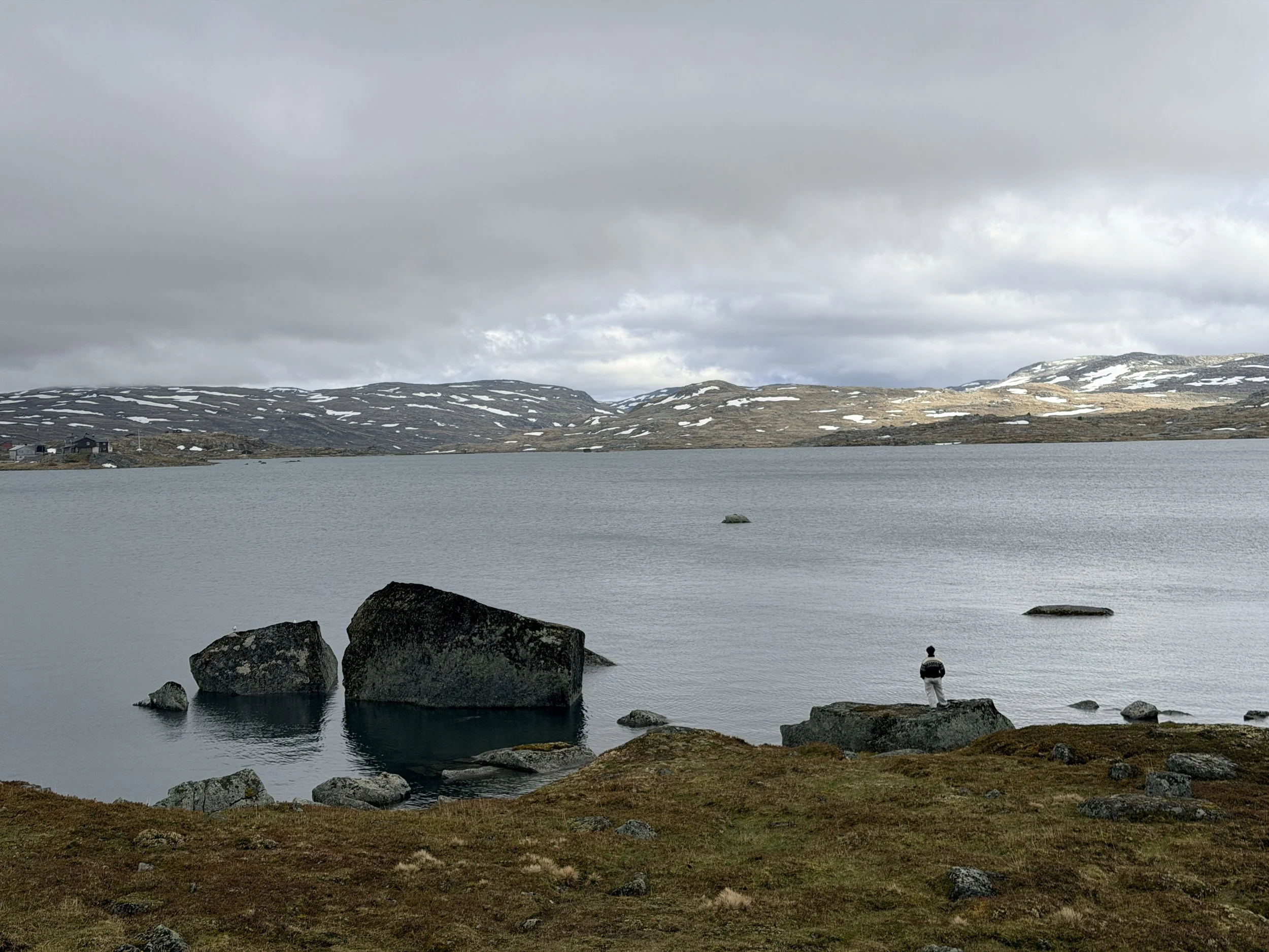
The trail itself was uniquely beautiful. Countless ponds reflected the surrounding snow-covered mountains, while patches of lingering snow dotted the terrain. The scenery felt both rugged and tranquil, making every step enjoyable.
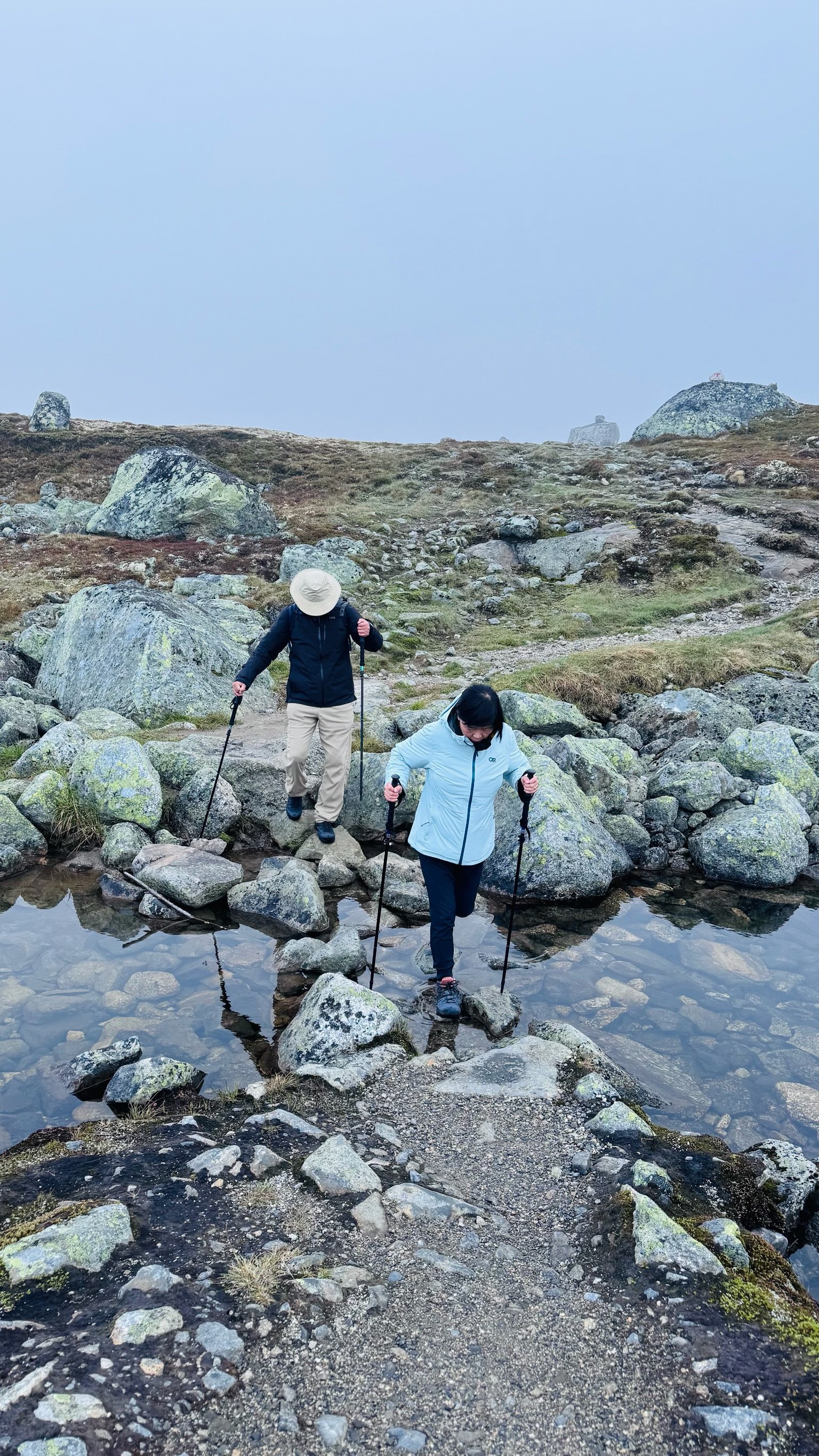
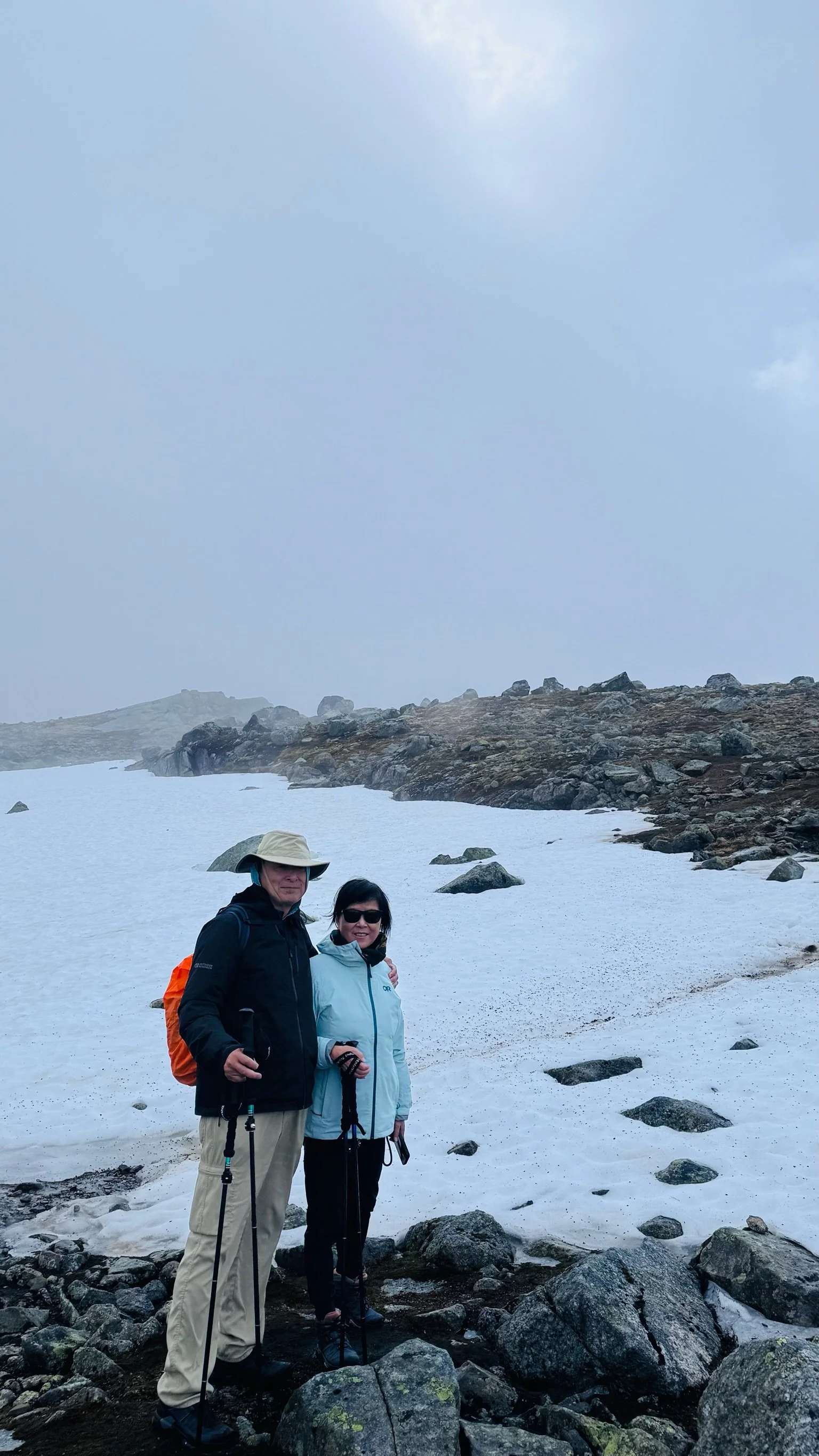
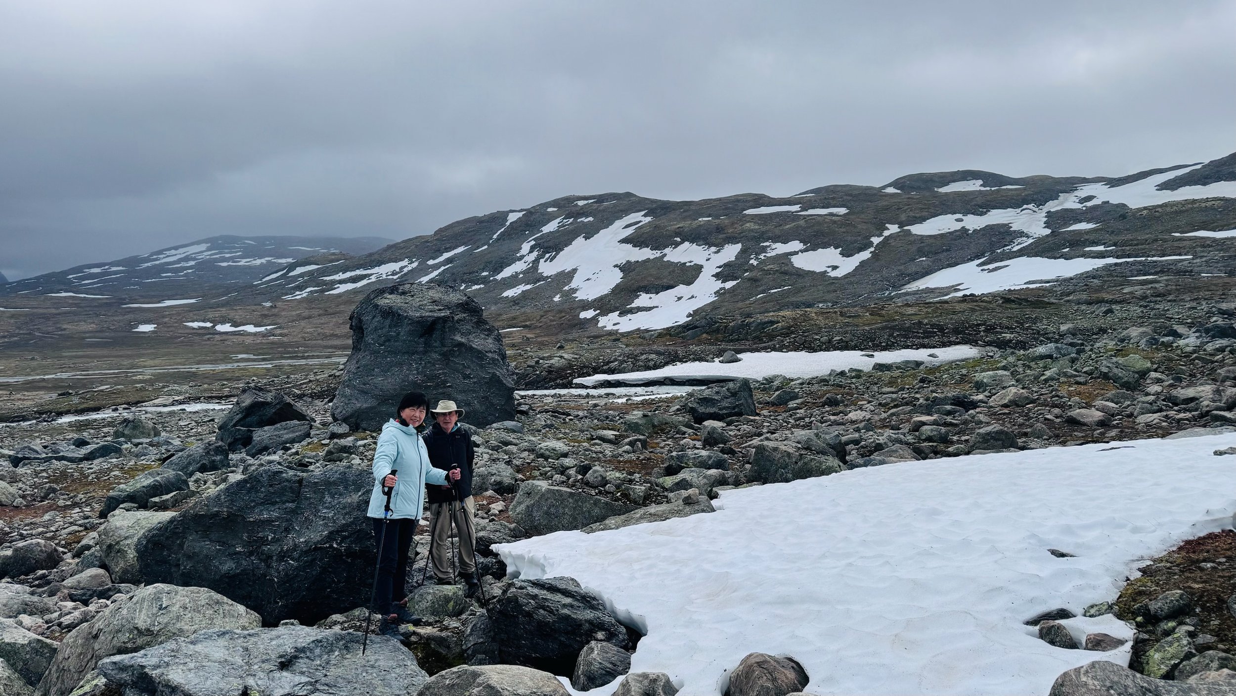
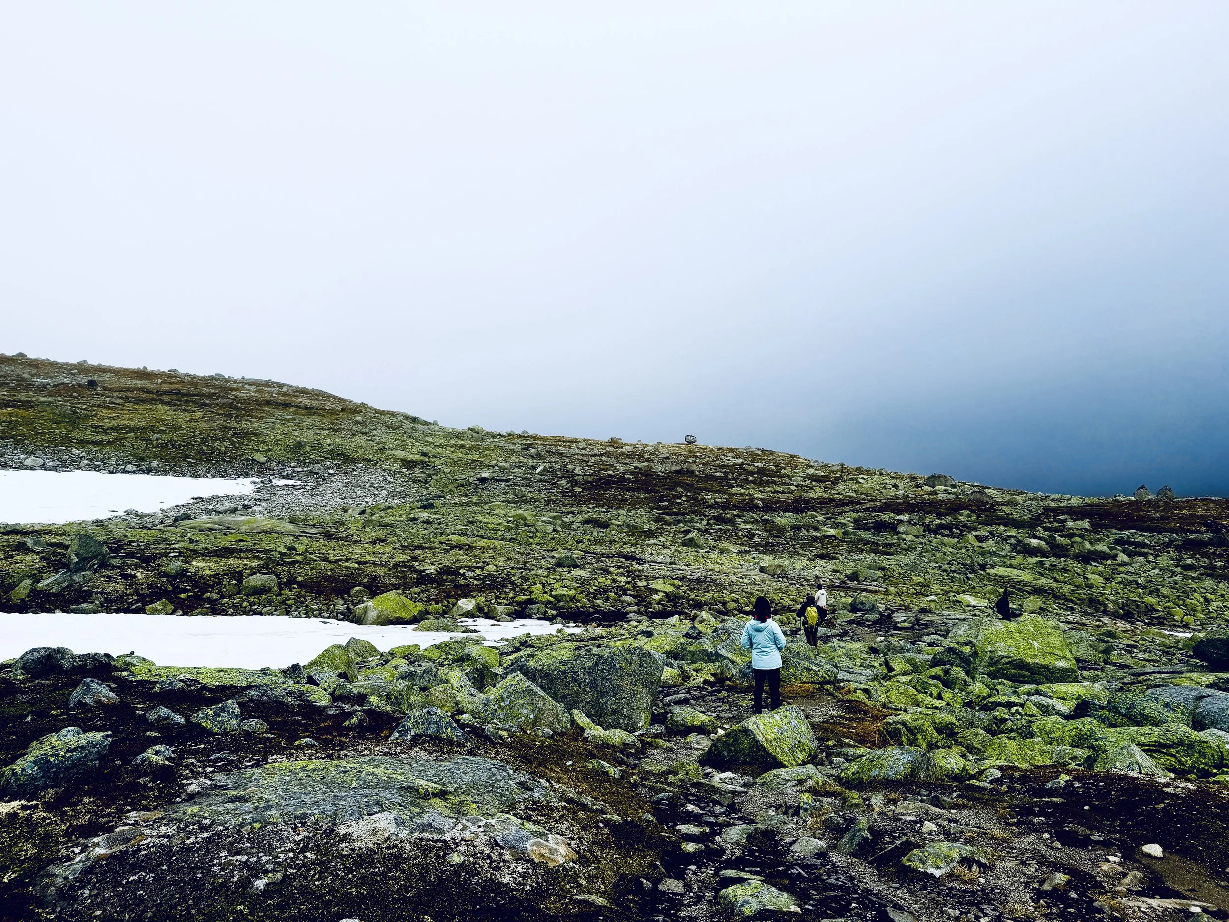
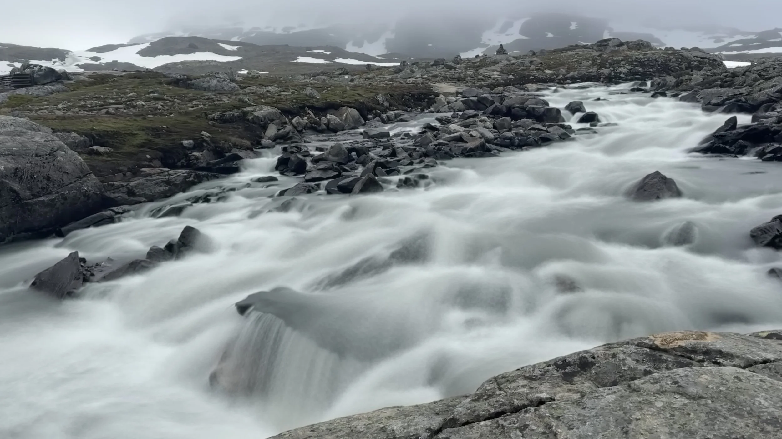
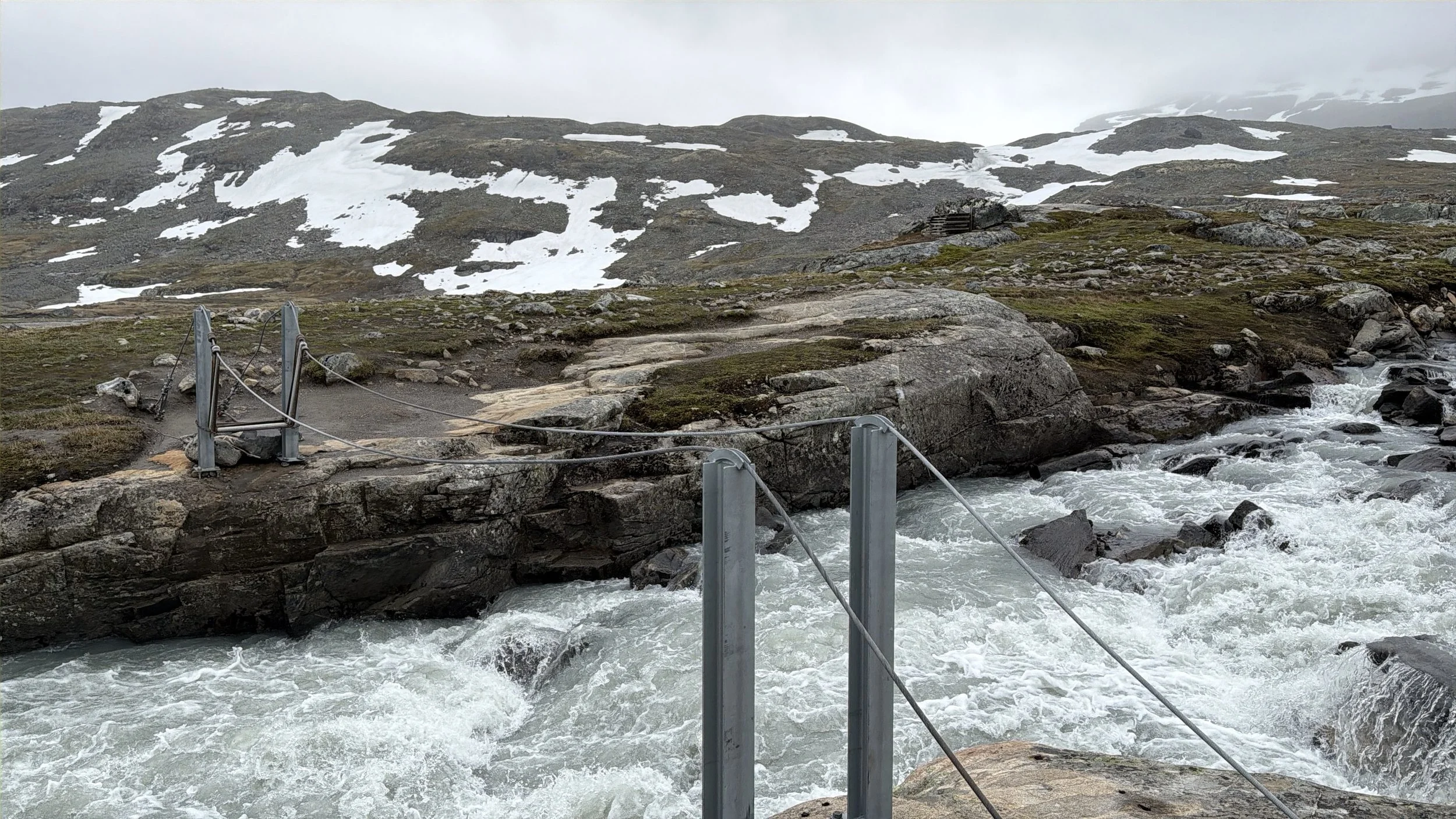
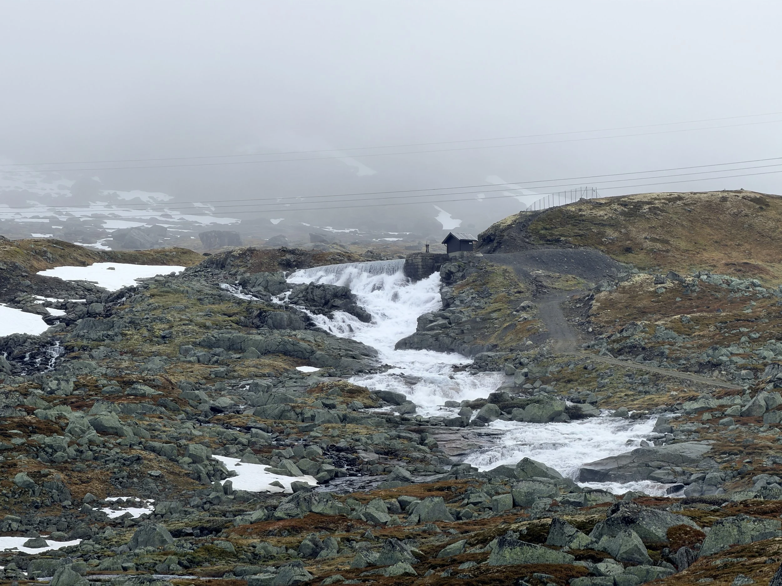
Our progress came to an abrupt halt when we reached a roaring stream fed by melting snow. A seasonal bridge normally spans the crossing, but we were about a week too early—it had not yet been installed for the summer season. We searched both upstream and downstream for a safe place to cross, but the water was too wide, swift, and powerful. Reluctantly, we accepted defeat and turned around.
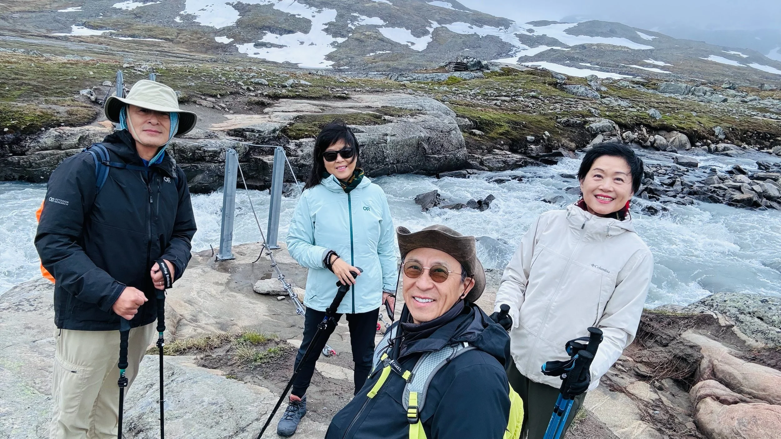
Although we never reached the glacier, the hike itself was rewarding. We covered about 5.6 miles with roughly 900 feet of elevation gain. The trail offered an excellent balance of physical activity and spectacular scenery.
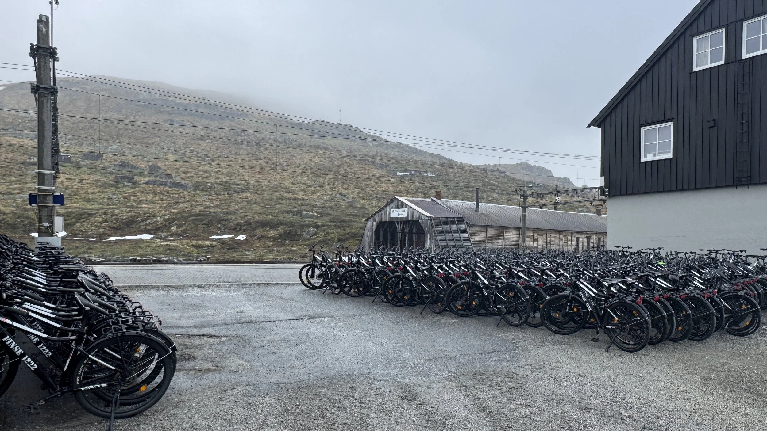
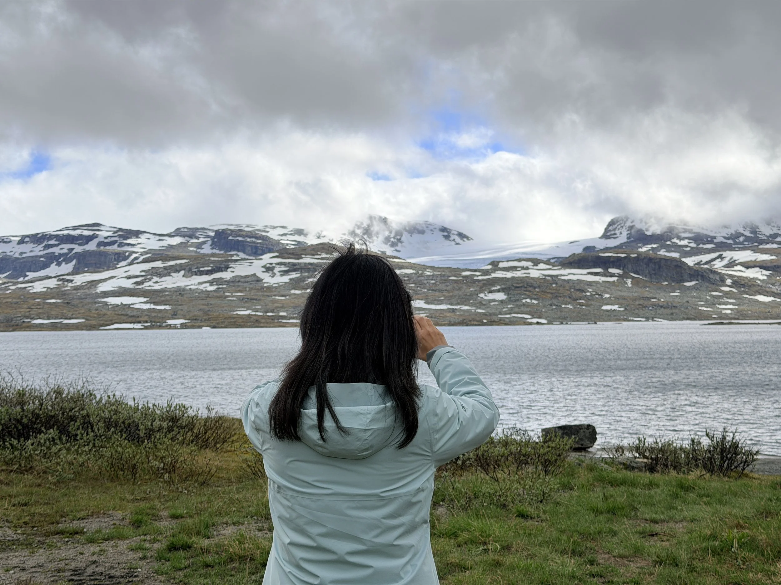
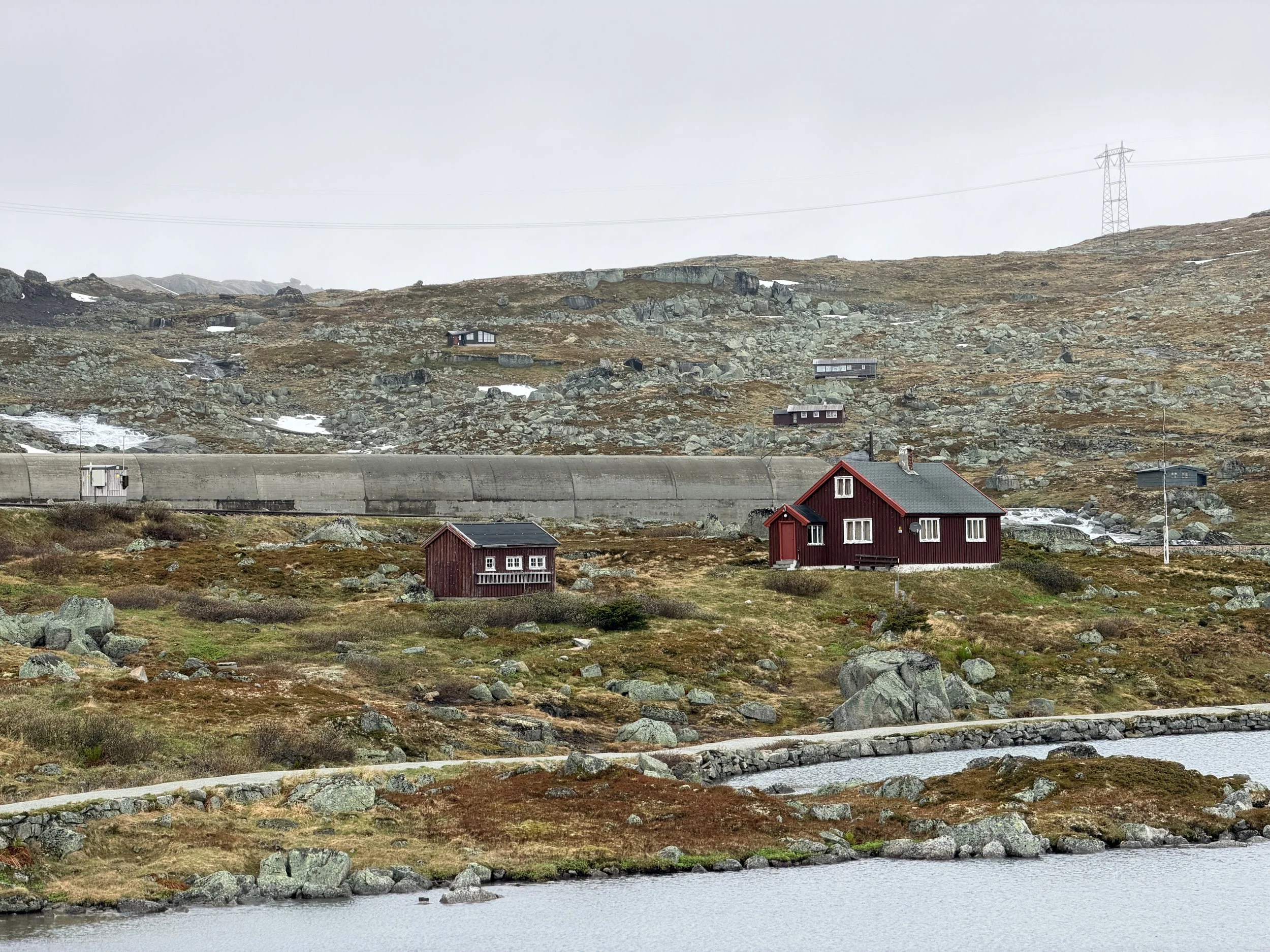
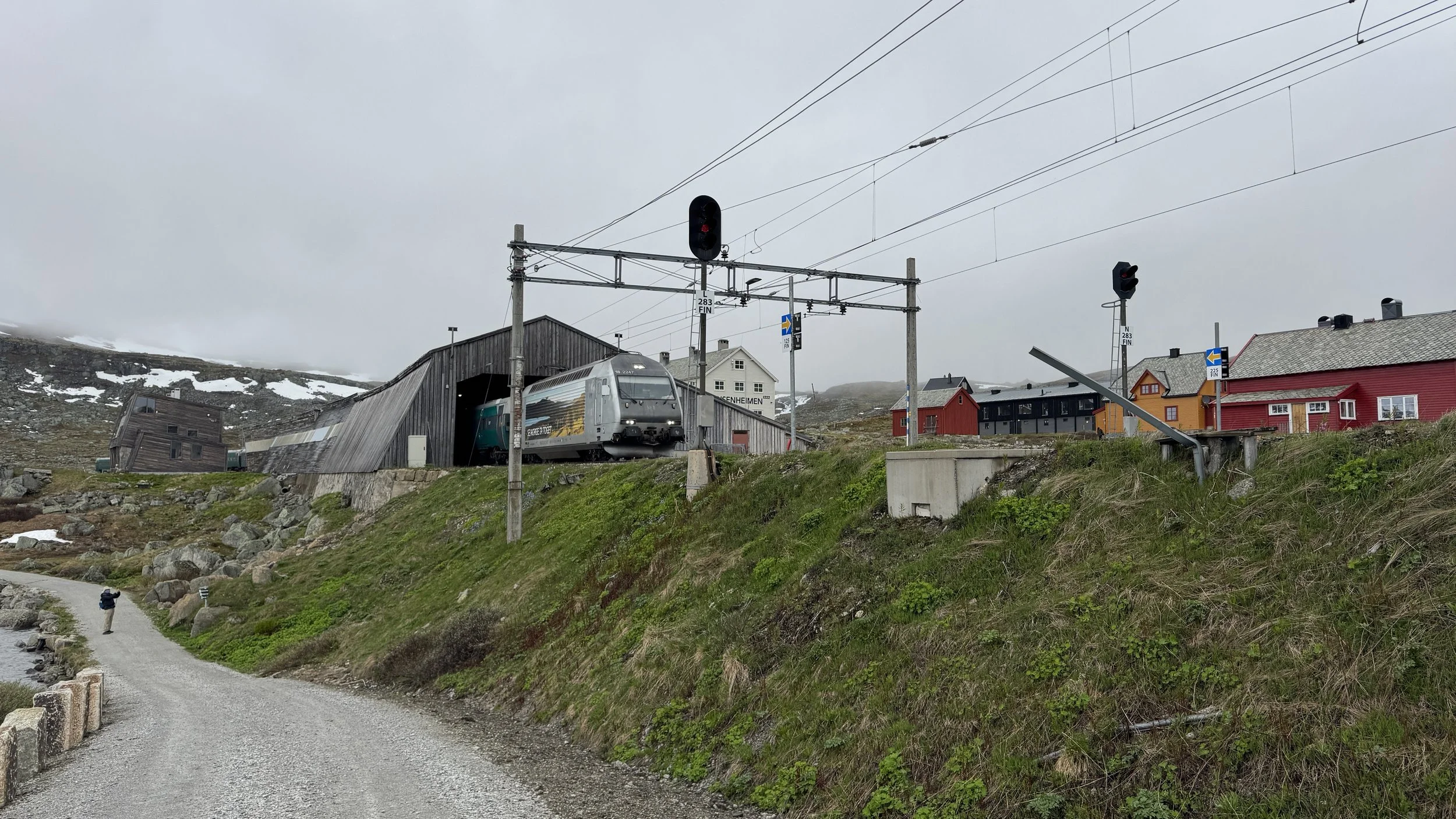
After returning to the hotel, we enjoyed a simple lunch followed by an hour-long nap. Later in the afternoon, we took a leisurely walk along the Rallarvegen cycling route that circles part of the lake. The path looked beautiful, and we wished we had more time to explore it by bike.
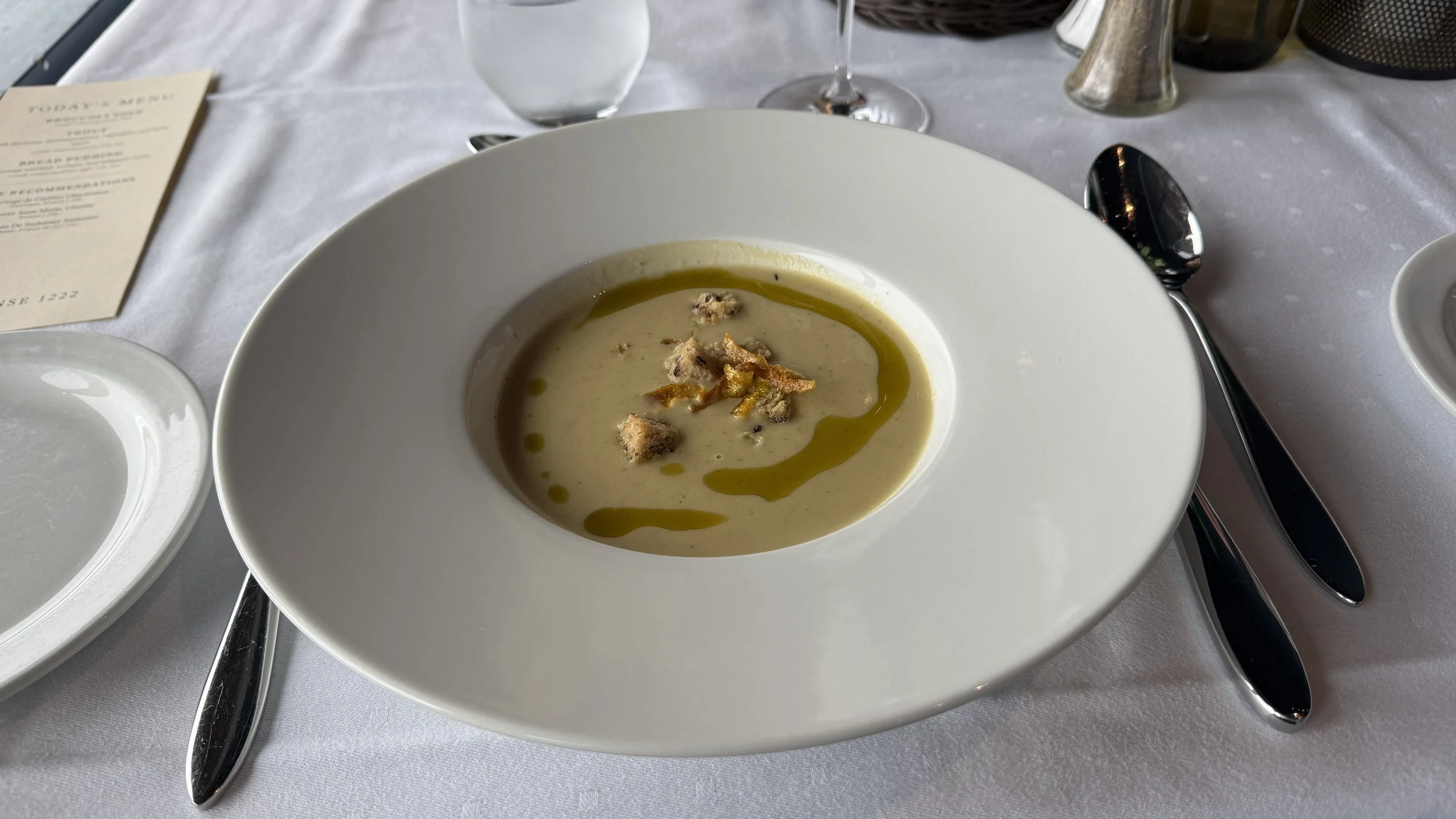
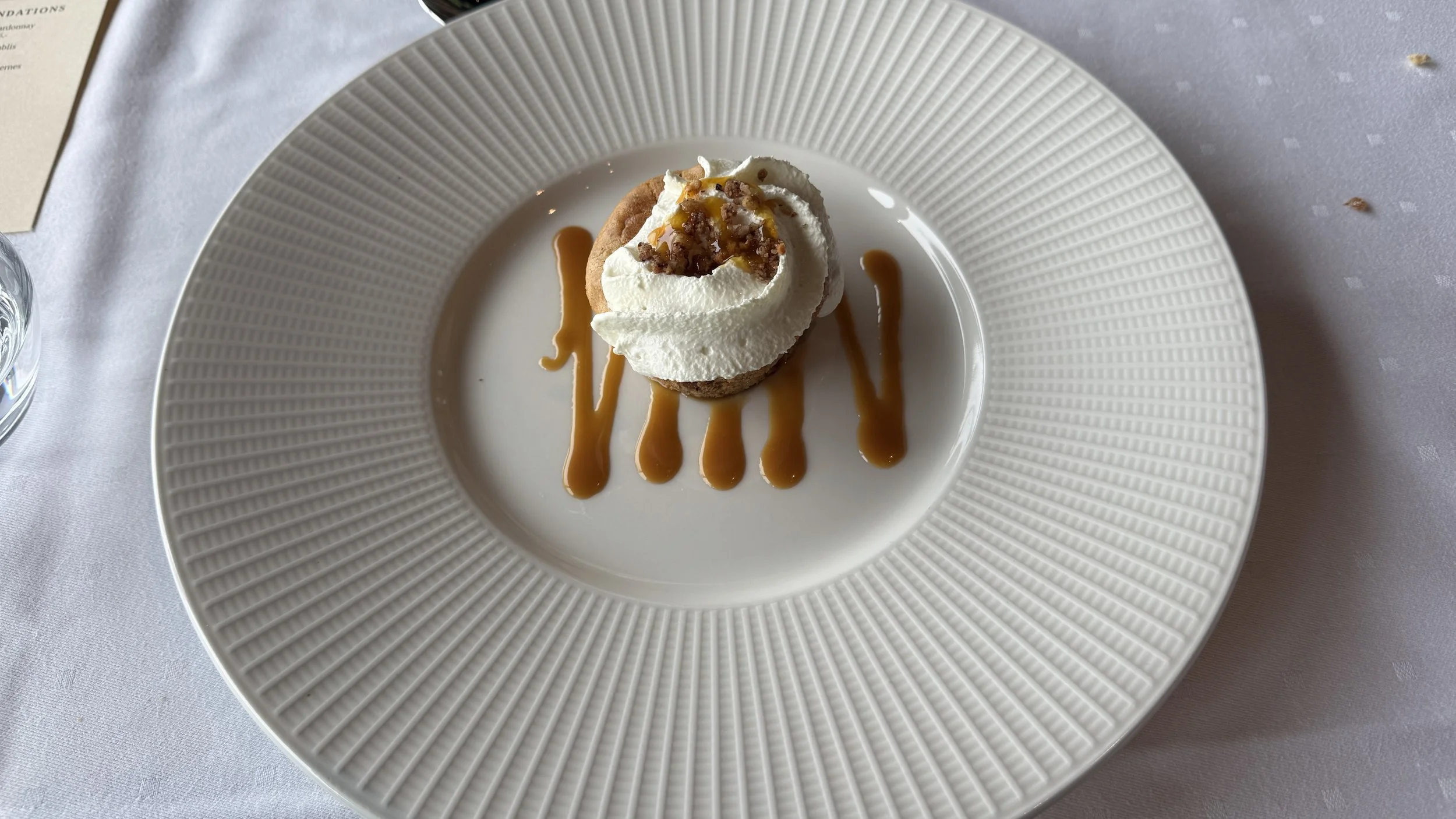
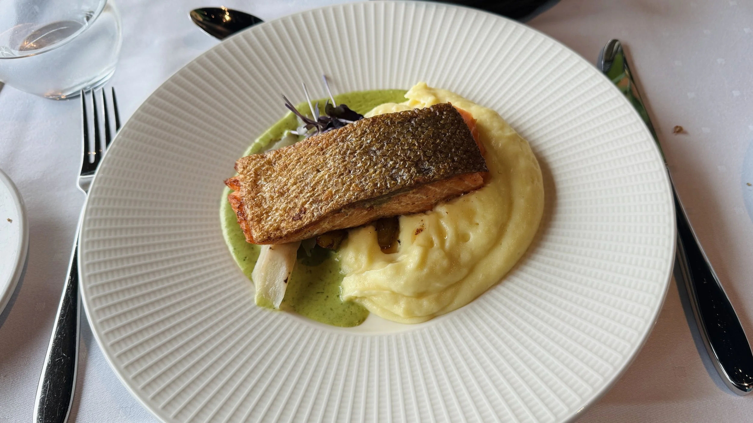
Dinner was served at the hotel, another delicious three-course meal and a pleasant way to end the day.
2026年6月24日
享用了一顿丰盛的早餐后,我们出发前往布劳冰川(Blåisen,意为“蓝冰川”)徒步。清晨时分浓雾笼罩着大地,但不久后天空逐渐放晴了一些。遗憾的是,大部分时间天气仍以多云为主,夹杂着零星小雨和阵阵冷风。
当我们经过水坝/桥梁附近时,数以百计的蚊子向我们扑来,落在我们的衣服上。幸运的是,这些蚊子似乎对人并不感兴趣,没过多久便纷纷飞走了,没有给我们带来太多困扰。
在通往冰川的大部分路程中,整个荒野里似乎只有我们四个人。虽然我们随身携带了 AllTrails 的导航地图,但沿途醒目的红色“T”字路标让人倍感安心,也减轻了在这片辽阔旷野中迷路的担忧。
这条步道有着独特而迷人的风景。散布在野地上无数大大小小的水塘和尚未融化的积雪,与远处白雪覆盖的群山共同构成了一幅壮丽的水墨画。这里既有高原荒野的苍茫,也有湖泊雪原的宁静,我们不停地止步留影,享受这个独特的徒步过程。
然而,当我们来到一条由融雪汇集而成的急流前时,行程被迫停止。原本夏季会架设一座桥供徒步者通行前往冰川,但我们来得早了一周,桥梁尚未安装。我们沿着河流上下游寻找可能的过河地点,但河面过于开阔,水流也十分湍急,完全无法安全通过。
无奈之下,我们只好带着些许遗憾原路返回。虽然最终未能抵达冰川,但这次徒步依然令人满意。全程约5.6英里(约9公里),累计爬升约900英尺(约275米)。步道兼具适度的运动量和令人惊叹的自然景观,是一次非常愉快的徒步体验。
回到酒店后,我们简单吃了午餐,并小睡了一会儿补个觉,之后我们沿着著名的拉勒尔公路(Rallarvegen)自行车道,在湖边进行了短暂散步,今天比昨天走得稍微再远一点。这条自行车道风景优美,难怪酒店有几百辆自行车供游客租用,旅游旺季时这里是骑车者的天堂。
晚上,我们在酒店享用了三道式晚餐。尽管今天未能走到布劳冰川脚下,但沿途壮丽的风景和宁静的荒野体验,依然让这一天成为芬瑟之行中难忘的一页。